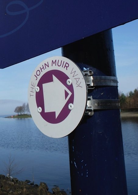
The John Muir Way extends coast to coast across Scotland, from Helensburgh to Dunbar (or vice versa). The 134-mile route was opened in 2014 and provides walkers and cyclists with a waymarked route through varied landscapes and a range of terrain.
Most people will take a week to walk the full route, while others will did in and out of the route for walks of a few hours or a day. The John Muir Way website has lots of useful information.
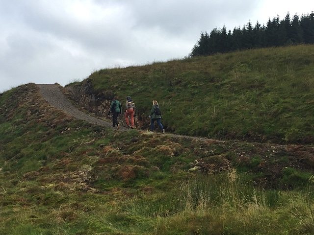
A new section of the John Muir Way was created recently. It takes walkers cross country via Mugdock Park (near Milngavie), Carbeth, Edenmill Farm, Burncrooks Reservoir and over the hills to Balloch, before heading towards Helensburgh. See the route.
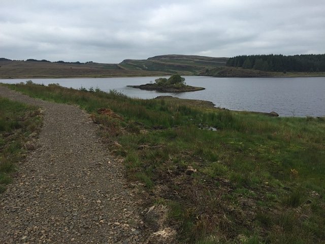
Many people also enjoy a walk of six miles (10km) from Edenmill Farm Shop around Burncrooks reservoir, created as part of the Burncrooks extension.
Burncrooks walk loop
The walk starts (conveniently!) at Edenmill Farm Shop and cafe on Stockiemuir Road (A809), just past Carbeth in Stirlingshire. There is a large car park to serve the large new cafe.
You can also reach the start point by mountain biking/walking from Milngavie or Mugdock on the John Muir Way.
It takes in a circuit of Burncrooks Reservoir in the Kilpatrick Hills some 10 miles north of Glasgow.
To start the Burncrooks loop, leave the car park through the gates and walk on a tarmac road next to a hedge. At an angled t-junction turn left. You are now walking on a private road and no cars are allowed beyond this point.
This road, also laid with tarmac, winds gently uphill in a westerly direction. You’ll pass through a walkers’ gate before heading into more open countryside.
At the highest point of the road there’s a choice: Walk straight on or turn left, through a gate, and on to a forest track. It doesn’t matter which you choose because the loop of the reservoir ends up in the same place.
If you turn left you’ll join the forest track and then turn first right to reach the reservoir. An obvious and newly laid path circuits the reservoir clockwise, undulating along the shoreline and offering fantastic views of the reservoir and further afield to hills and mountains.
At the far end of the reservoir you’ll see a path leading off towards and area of forestry. This is headed towards Balloch on the JMW. Instead, for the Burncrooks loop, you continue around the reservoir and on to a wider track (you’ll see a fishing hut beside the reservoir) to rejoin the point at which you could choose your loop direction.
It’s a great traffic-free walking or running route.
It’s easy to see the route on this mapped route of the Burncrooks Walk Loop created in ViewRanger. You can download a GPX from the link.


