The Black Isle in the Scottish Highlands is a great area for gravel routes, whether for gravel cycling or trail running. This loop of 17 miles and starts and finishes in Avoch, on the east coast of the Black Isle.
There is a total elevation of 456m and the lowest point is at 4.5m altitude, with the highest point at 204m.
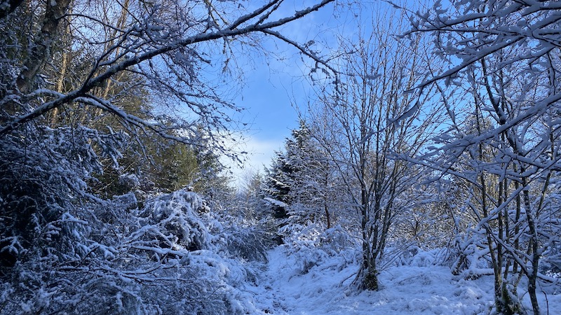
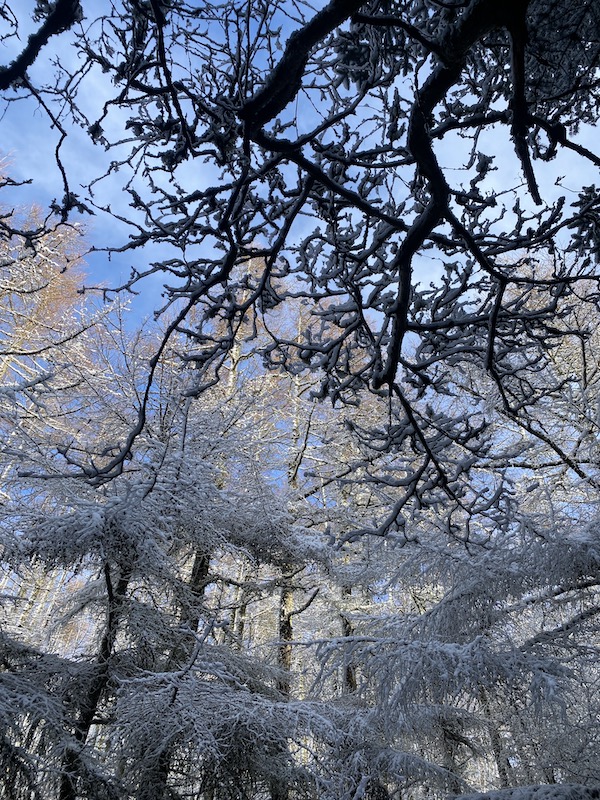
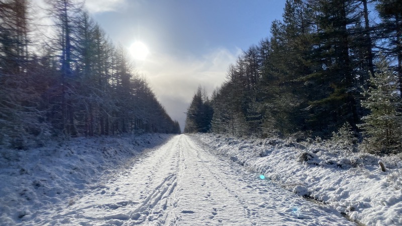
I ran with my friend Rachel on a beautifully snowy day.
We also discovered signposts and arrows for a network of Highland Council Core Paths.

17-mile Avoch running route
The route starts with a section along a dismantled railway line to reach Fortrose, further north along the coast.
A short section of road takes you to Rosemarkie and into the car park of Fairly Glen.
The route heads through the gorge of Fairy Glen, where you see two large waterfalls and a cascading river. If you are on a bike, you could detour around the Fairly Glen route (not so suitable for cyclists) and rejoin further along the road on the Eathie turn off.
For runners and walkers, Fairy Glen is a lovely route.


Next is a section of tarmac towards Eathie. This route heads off-load again and only to a lovely single-track path. It’s very muddy in places but it is great to get off-road.
The path heads to Learnie Red Rocks (a mountain bike trails centre). Follow trails to reach the main car park and if you are on foot, you need to watch out for fast moving cyclists.
Leave Learnie Red Rock car park and head along a short section of the 832. A turning right (north-west) takes you back on to wide forest tracks. You’ll join a trail called Blackstand.
The route zig-zags NW, SW, NW and SW and NW on wide forest tracks and to the highest point of the circuit just over 200m.

From here, it’s mostly downhill, with a few slight ups and downs, through and around farmland and into the Rosehaugh Estate to head back to Avoch.
The terrain is a mix of tracks, paths and tarmac.


