Starting from Threipmuir Reservoir car park (£2 suggested donation; this car park can be very busy in good weather) in the Pentland Hills, near Edinburgh, this walk of almost 13km includes 560m of ascent and takes around 2.5 to 4 hours (depending on fitness levels). It would also make a great running route.
The West Kip, East Kip, South Black Hill and Scald Law circuit starts on a road (there is a trail at the side) that heads directly uphill. The road is straight and the up is constant. You then cross Redford Bridge over the western end of the reservoir before the route joins a trail.
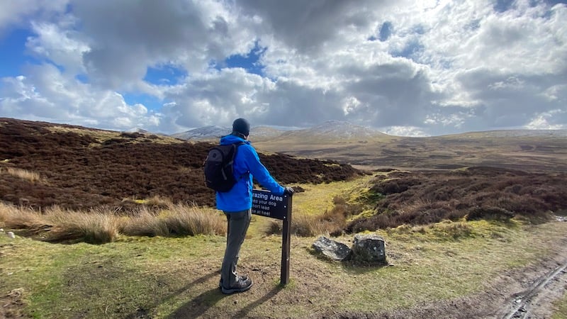
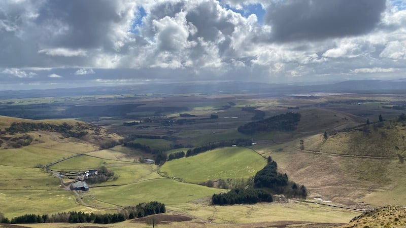
Before long, you feel as though you are many, many miles from city life and surrounded by peaceful countryside. This is a popular route however, with walkers, runners and gravel cyclists, so you are never far from the noise of people chatting. I don’t mind this but if you want a quieter walk, you’ll need to go earlier or later in the day, or mid-week.
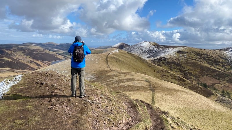
My friend Ben and I followed the circuit anti-clockwise and, as we walked the path known as “Red Road”, we could clearly see our hill route ahead.
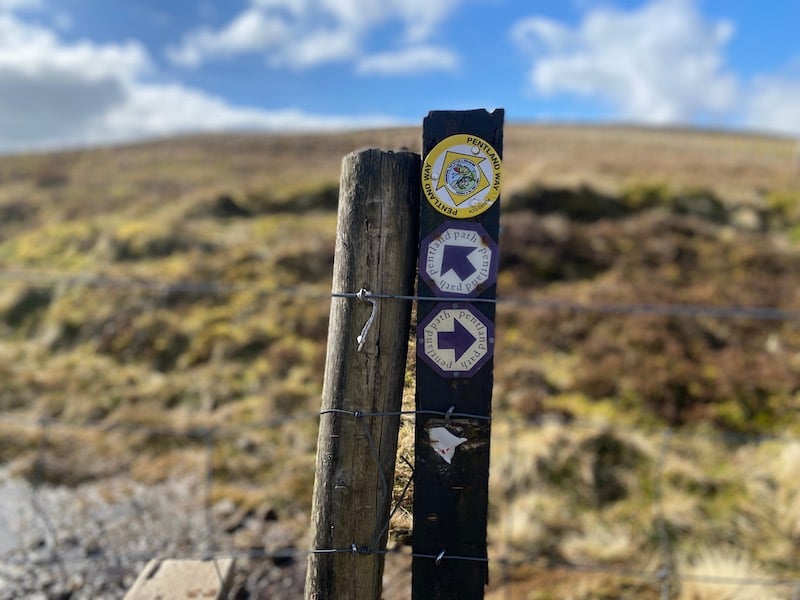
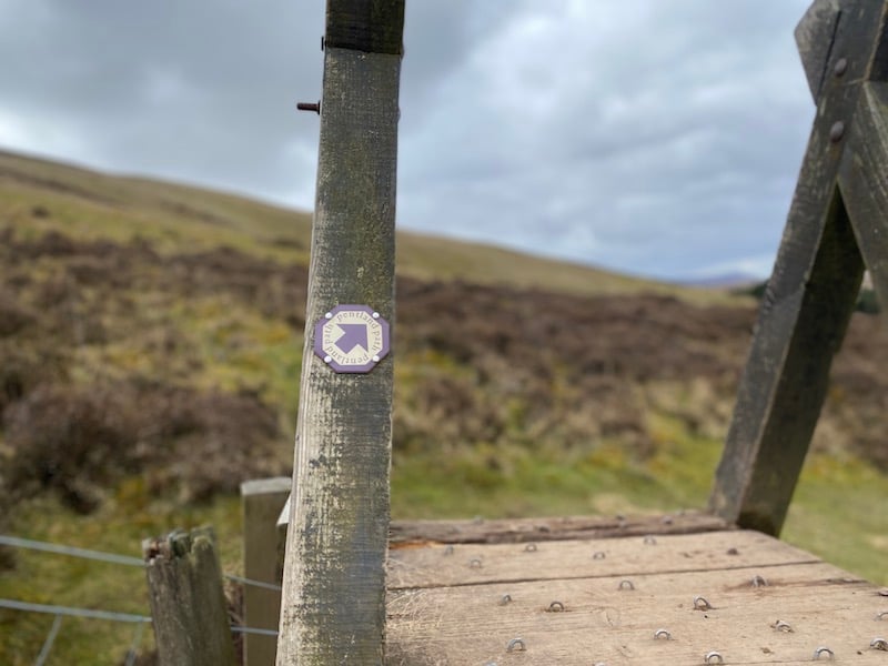
There is a well-worn path for the entire walk – and plenty of options for extending the route over other hills. In fact, the Pentland Skyline Race route takes in the summits of East Kip, West Kip, South Black Hill and Scald Law, plus many more.
Ups and downs of Pentlands walk
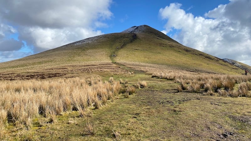
The first ascent to the summit of West Kip at 551m is fairly steep and sustained. We passed a large group of school kids who were clearly intent on some kind of challenge or activity. The were enjoying the chance to play in a bit of snow at higher altitude.
Ben and I walked on a late March Sunday and the hills had been dusted with snow the night before.
It’s less than a kilometre to the next peak, East Kip at 534m elevation. Again, it was a fairly steep descent and re-ascent but short compared to the Corbetts and Munros that I am more familiar with.
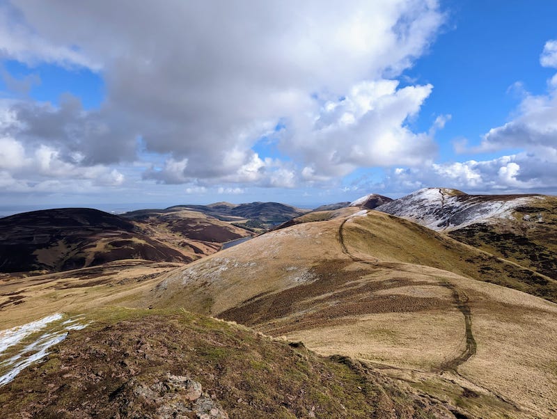
The views as we walked were wonderful, looking over Edinburgh to the north and Midlothian, including Penicuik, to the south.
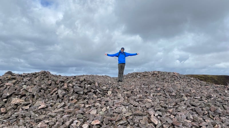
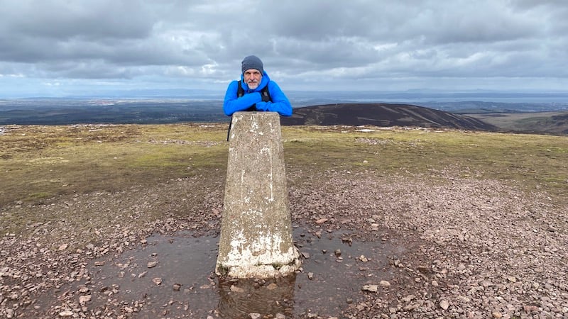
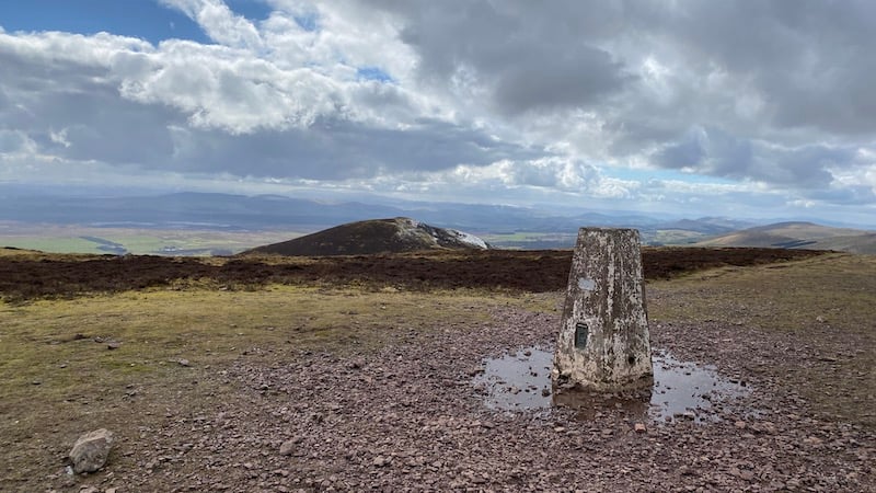
From East Kip, we descended again to the south-east and then climbed to South Black Hill, which rises to 563m. There is a vast, bowled shaped cairn at the top. As we walked back downhill, we could see Scald Law rising in front of us. This is the highest point of the circuit at 579m. A trig marked the spot.
The descent of around 100m to the north-east was around 500m in distance. We then joined a path heading north-west. This descended gradually towards Green Cleugh. In Scotland, cleugh usually means a gorge.
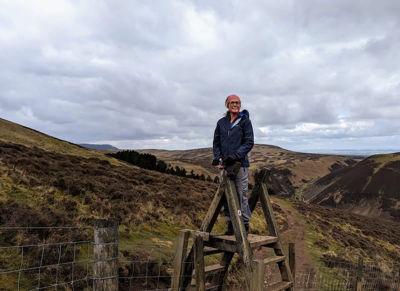
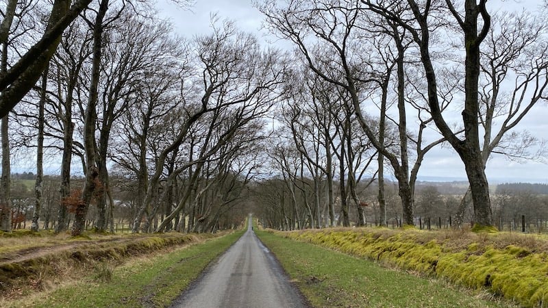
Our path crossed the fertile green base of the small and wide rocky-sided gorge. The path then took us west and back to the straight road that we had started on. The descent was far more pleasant than the ascent and I noticed how the trees on both sides had bent to create a lovely arch. In summer, when covered in leaves, this must be a beautiful start and finish to a walk.