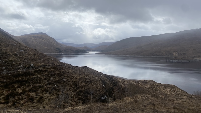
An Sìdhean is a Corbett located in Glen Strathfarrar in north-west Scotland. It looks very remote on a map but, in fact, you can drive a long road through the glen, if you comply with the gate rules. The road through Glen Strathfarrar is private and access by cars is strictly controlled. Only 25 vehicles per day are allowed through a locked gate at Milton Cottage near Struy.
In the summer, gate opens from 9am to 6pm (some months this is pushed back to 8pm). There is no access on Tuesdays and opening hours are until 1.30pm on Wednesdays.
Winter access is a whole other thing and needs to be arranged in advance. You can do this through Mountaineering Scotland. See: Strathfarrar access.
There are no restrictions if you want to enter on foot or by bike, so this might offer an option if you have the energy for extra miles before or after your mountain walk.
There are other mountains, including four Munros, accessed from the glen but my objective on Saturday was An Sìdhean at the end of the private road – and some 30 minutes of driving.
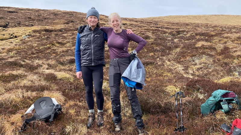
I travelled with my friends Victoria and David and we parked at Monar Dam.
Ascent of An Sìdhean
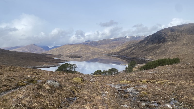
Past the dam, a track heads north and along the eastern shore of Loch Monar. It’s a stoney path and wet in places but easy to follow.
There is a bit of route finding around some farm buildings but the route is fairly obvious and continues along the loch shore for several kilometres.
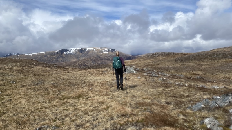
Look out for a stalkers path that climbs north and then north-west through rougher ground. The path comes and goes but it’s still possible to see a general route north. The slope is steep at first, then flatter, then steeper and so on towards a fairly featureless plateau.
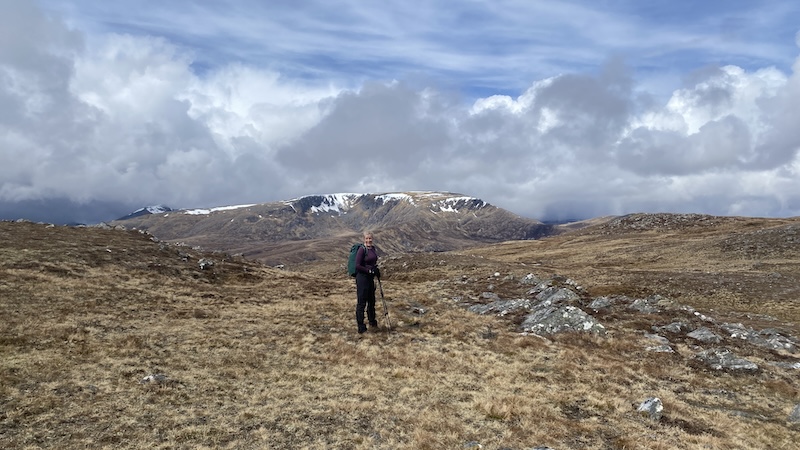
Although overcast and threatening rain and snow, the views were superb, especially over the Fannich mountains from the large summit cairn on An Sidhean.
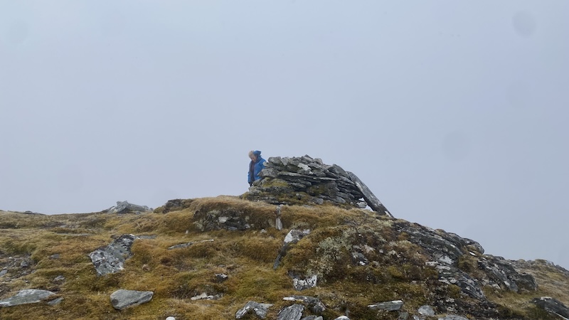
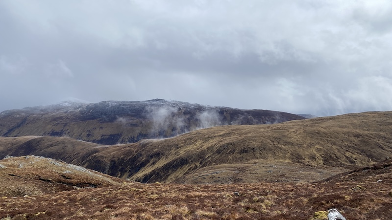
Descent of An Sìdhean
You could retrace your steps to return, but we decided to make a loop of the walk, heading southeast. The ground was rough and boggy in places and, at one point, we were engulfed in a snowstorm, but we made good progress towards a bealach marked by the Clach a’ Chomharraidh, the “rock of the mark”, which forms a large boulder topped by a cairn.
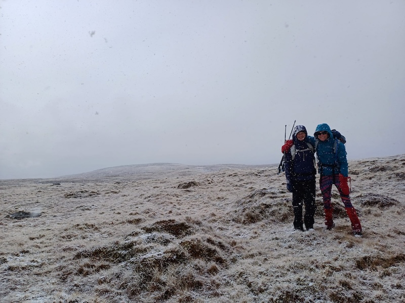
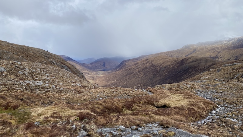
We then trended east, climbing up a slope ahead to a high point and then made our way downhill again. We came across a useful stalker’s path that follows a route across the west side of Coire Domhain.
Continuing south into the glen, we finally picked up the obvious path lower down and along the loch shore. We turned left to walk back to where we had parked at Monar Dam.
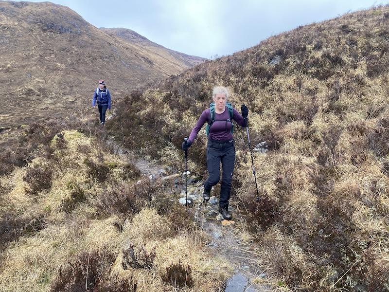
This is a route over rough moorland and we had experienced a wide range of weather, especially given it was late April when we had been hoping for some warmer summer conditions.
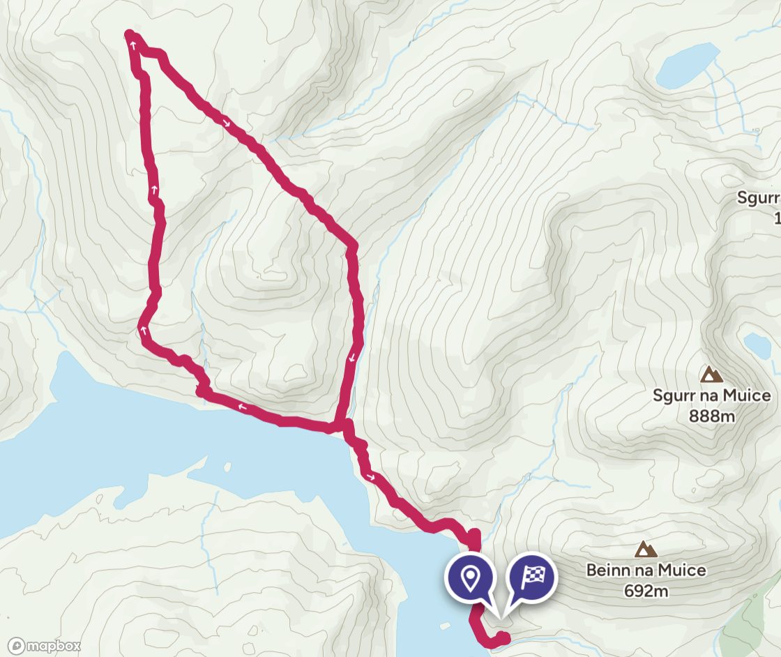
Route details: An Sìdhean
Distance: 17.5km
Total ascent: 1065m
Corbetts bagged: 142

