A trip to my old home town of Peebles in southern Scotland provided the opportunity for a spot of Donald bagging close to Drumelzier. I walked three Donalds, Pykestone Hill, Middle Hill and Drumelzier Law, plus two Donald Tops.
What are the Donalds?
The Donalds are a list of the hills in Lowland Scotland with a height of more than 2000ft (609.6m). They also have a prominence of 100ft (30,5m). The list was defined in 1935 by Scottish Mountaineering Club member Percy Donald. There are 89 Donald Hills and a further 51 Donald Tops.
Some of the Donalds also qualify in the list of New Grahams or Fionas.
A weather window
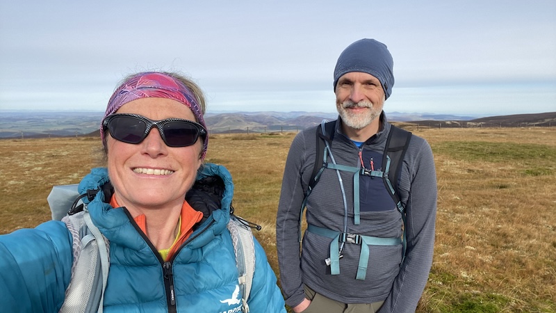
The weather forecast was surprising because it suggested a day or relatively dry weather and wind speeds that would not be too blowy. The day seemed to be jammed amid many other days of poor weather. My friend Ben, who is a Donalds compleatist, was keen to join me and we met near the small settlement of Drumelzier on a Sunday morning. There is a parking area here for around five vehicles.
First Donald Top & Donald
It takes a dedicated bagger to bag the two Donald Tops, The Scrape and Taberon Law, as well as the three Donalds, Pykestone Hill, Middle Hill and Drumelzier Law, and I am unashamedly dedicated!
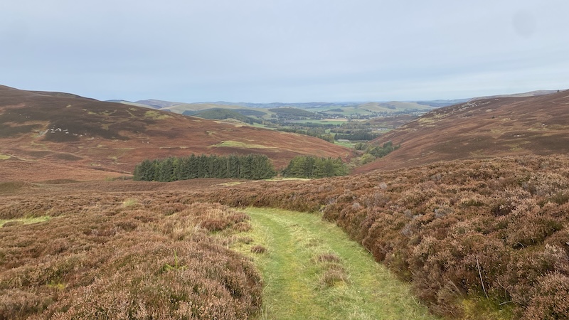
Ben and I left the car park on foot via a small wooden bridge and headed upwards to the left of a hidden house. The track climbs through the valley of Drumelzier burn with ever widening views ahead.
We kept on a path as we climbed towards the higher point of Den Knowes and Den Knowes Head.
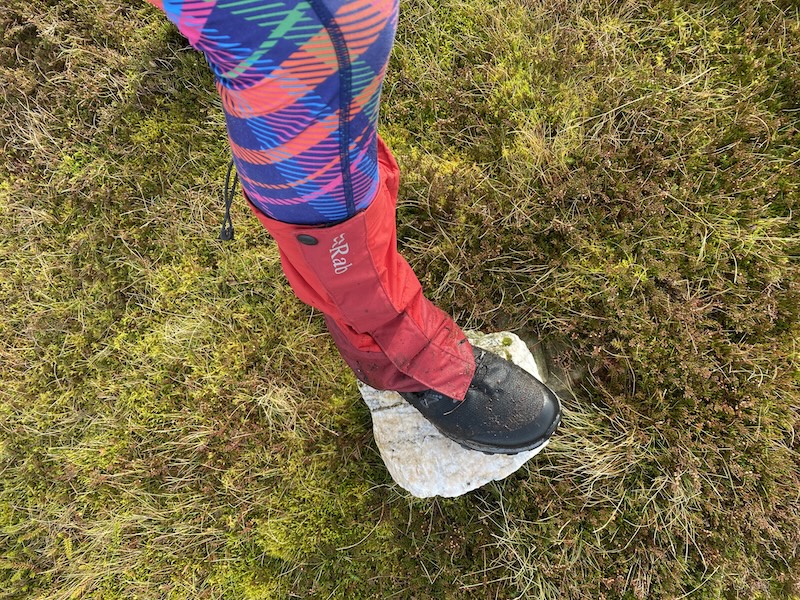
Another surprise of the day was the number of tracks and paths on the route. Donalds, Grahams and Fionas are renowned for being frequently pathless, so it was something of a joy to follow paths and well-worn trods.
The exception to this was when Ben and I detoured to the first Donald Top. We left the main route at around 600m altitude to veer north and tramped through thick vegetation as we made our way towards Broad Moss and a high fenceline. From here, it didn’t take long to arrive at The Scarp at 719m elevation.
Back tracking over Broad Moss but staying high, our next target was Pykestone Hill at 737m height.
We descended a short way, then easily – and quickly – ascended to the top of Pykestone and more great views.
Another Donald and Donald Top
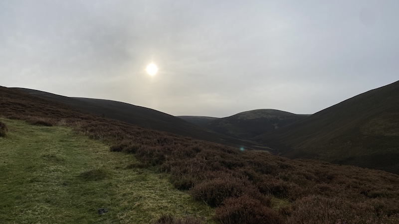
Looking south, the hills rolled onwards with our next Donald named as Middle Hill. To reach it, we needed to descend to a col, where a route once used by raiders in the Borders – and known as The Thief’s Road – crossed the fenceline. It’s hard to see these days due to boggy land and vegetation.
Following the line of the fence, Ben and I happily strolled onwards, reaching Long Grain Knowe, a point where three fences meet. We took a trod in a more westerly direction and came to the top of Middle Hill at 716m elevation.
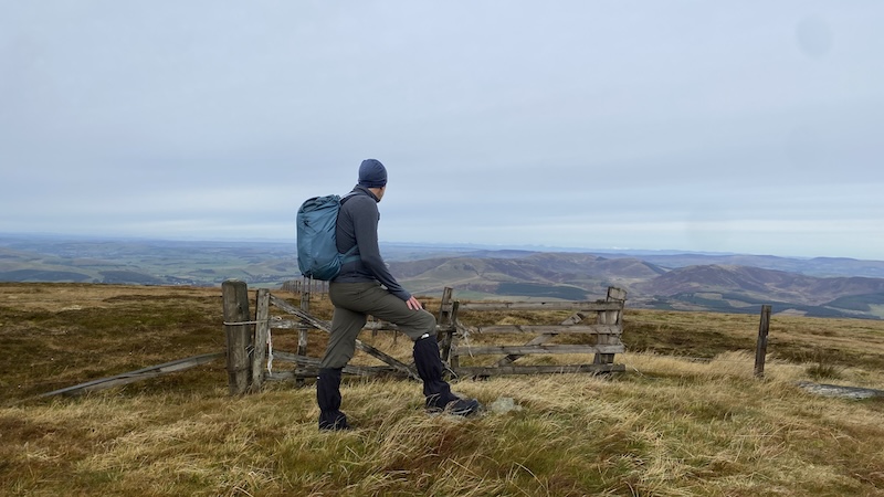
The next Donald was to the north, but we had another Donald Top to bag and this required a fairly lengthy walk – out and back – to Taberon Law at 636m. It was not an unpleasant walk at all thanks to lovely views and fairly mild weather conditions.
In any case, Ben and I had lots of chat to catch up on and so the time and kilometres seemed to fly past.
Walk to Drumelzier Law
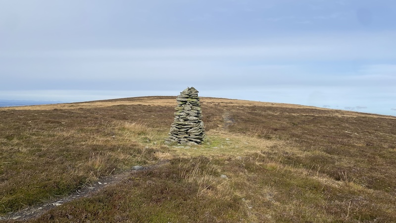
Having returned to Middle Hill, we walked north and downhill. An impressive cairn – known as shepherd’s cairn – was located at the junction of three trails. It was strange to see a cairn on a col, rather than a summit and Ben remarked that he could not recall seeing the cairn when he walked the hills previously.
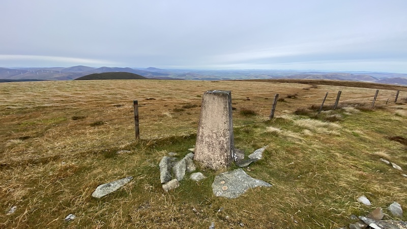
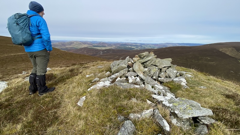
Our next target was the summit of Glenstivon Dodd, before another descent and a further ascent on to our final Donald, Drumelzier Law. There is a cairn on top of the hill, although the true summit is a short way further along the ridge at a second cairn. We greatly enjoyed the views from the summit, especially along the valley of the River Tweed.
To complete the walk, we headed downhill from Drumelzier Law in a westerly direction following a mix of ATV track and trod before turning to the north-east to reach Logan Head. A hill path took us towards Finglen Rig and we then rejoined the track that we had started our walk on.
The total distance was 20km with an accumulated elevation of 960m. You can see our route: Strava and OS Maps.