A solo run-hike of the two Corbetts, Cranstackie and Beinn Spionnaidh, Sutherland. Spotting a Wednesday good weather window, I packed up my campervan and headed north the night before. I drove for a couple of hours and then parked in a quiet spot for an overnight in a remote spot. This meant I was in a good position to complete my journey to Carbreck on the A8383 fairly early the next day.
My aim was the two northerly Cortbetts, Cranstackie and Beinn Spionnaidh. The mountains are covered in large fields of quartzite boulders and I was pretty sure the views would be superb. Sutherland’s mountains are among my favourite in Scotland and I didn’t want to walk these Corbetts without good views, which is why I chose a good weather forecast.
While it was very sunny, it turned out that the forecast wind was much reduced and that meant the flies and midges were much boosted.
Corbett one: Cranstackie
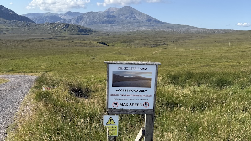
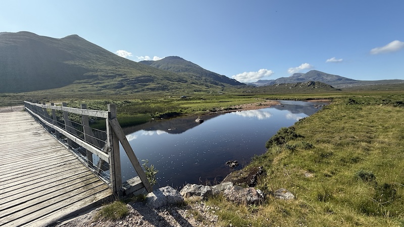
I parked about 400m south of the start of a track that headed south east away from the tarmac. At first I gently descended, jogging easily, on the Landrover track towards Rhigolter Farm. I crossed the River Dionard on a wooden bridge and stayed on the track through passing some farm buildings.
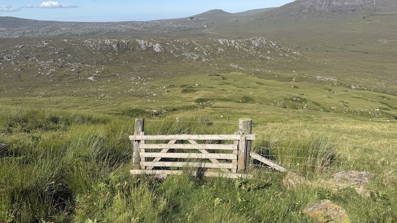
I headed through a farm gate and on to a rough track that zig zagged quite steeply uphill. The path gave way to more open moorland and bits and pieces of trod. You should aim to a gate to pass through a fence just below 200m elevation.
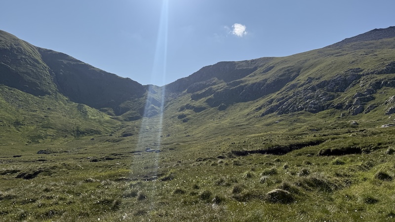
I had decided to head for the summit of Cranstackie first and I could see the way ahead, ascending a corrie to a bealach and then peeling off right.
My main issue at this point was biting clegs and midges, though. The air was humid and still and that is exactly the right conditions for small biting beasts. I was desperate to reach a height with a bit of a breeze but the terrain became very steep and I couldn’t move quickly enough.
I stayed close to the right hand side of a burn and pushed as hard uphill as my legs would go. As I walked, I waved my poles around and swore a lot!
Finally, I reached an elevation where there was a slight breeze and this kept most of the insects at bay. I discovered a stronger path and headed uphill, to the south-west, ensuring I skirted around some crags.
It was fantastic when the wind picked up and the insects disappeared.
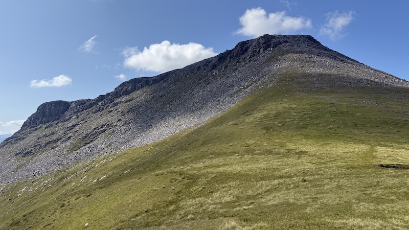
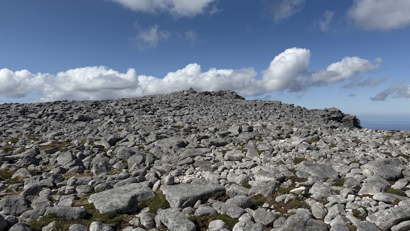
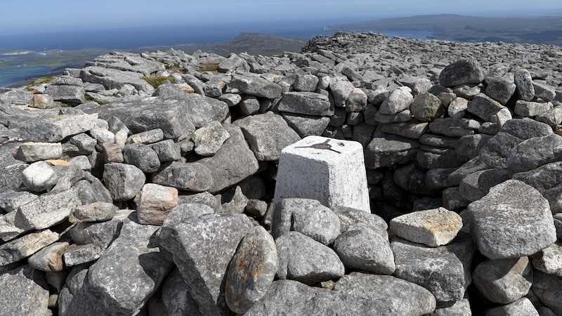
From around 700m elevation, I needed to pick my way through and over the start of the large boulder field. It wasn’t too tricky to find my way but I was aware that the descent might be more troublesome because of the number of steep crags all around.
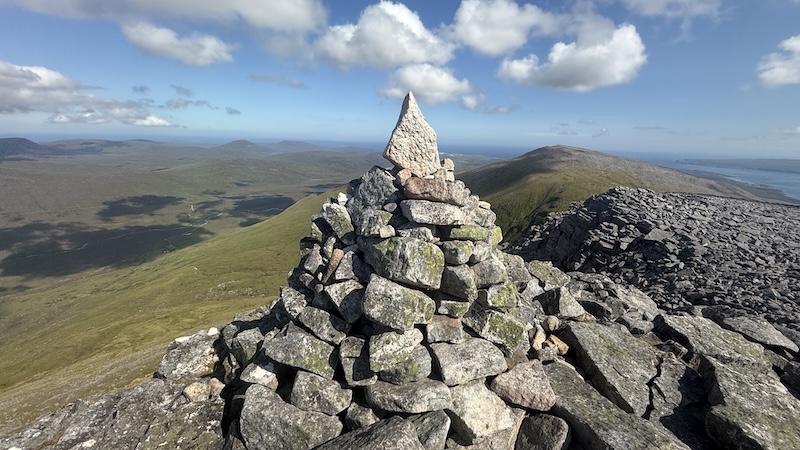
Once on the flatter plateau I tracked south-west and along the edge of the ridge of the mountain. It was fairly easy to do thanks to clear visibility and, eventually, I could see a cairn marking the 801m summit.
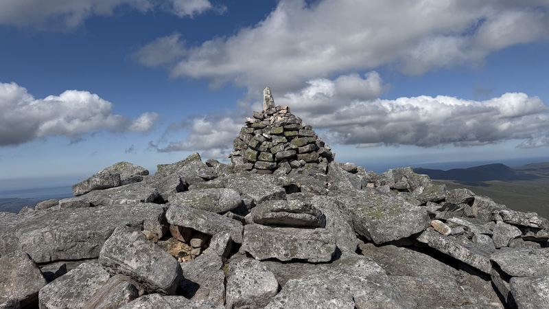
I stopped for a short while to eat a snack and take in the fantastic views, espicaly of the ridge of Foinaven.
I retraced my steps as best I could to return to the bealach. This was easier said than done though and finding the way back over the ridge required some careful navigating. One over the edge, the way became more obvious and I was soon back at the lower point between the tow mountains.
Corbett 2: Beinn Spionnaidh
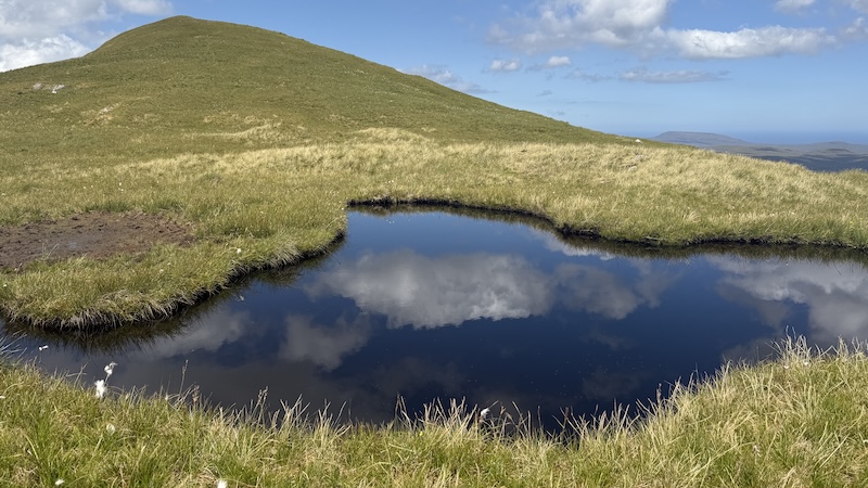
Next up was Beinn Spionnaidh. A grassy slope climbed at a fairly gentle gradient before I once again reached a large boulder field. The summit is further north-east than I expected but once on a flatter plateau I could see it ahead.
The Corbett rises to 773m, which is just over Corbett height of 762m (2500ft).
It was great to look back across to the rocky summit of Cranstackie and to enjoy another wee break. Thankfully, the earlier insects had not bothered me again.
However, I was taking no chances on that corrie again and I decided to return via another hump in the landscape, Cioch Mhor, along an undulating ridge north-west of Spionnaidh. It proved to be a very pleasant descent until around 500m elevation where a path gave way to rough woodland.
It was much harder to walk on thick tussocks and vegetation but I could se the farm buildings not too far away and that gave me a good aim.
Back on the wide track I broke into a jog and finished the 14km outing almost as fast as I had started it. The total elevation is just over 1800m, which made for a superb half day of run-hiking.