The weather forecast predicted sunshine but strong winds at higher level in Torridon earlier this week. Still keen to get out into the mountains, my friend Sophie and I chose to stay low level for a long section of our planned walk, before popping up on to the summit of a Corbett, Sgùrr Dubh, This meant we would remain relatively sheltered until the final section at altitude. We started on the A896, close to Loch Clair on the Coulin estate.
I have previously bagged Sgùrr Dubh as part of a circuit with another Corbett, Sgòrr nan Lochan Uaine, but starting from a different point, further west along the A896.
Coulin estate to Sgùrr Dubh
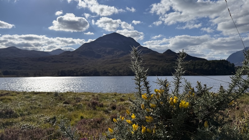
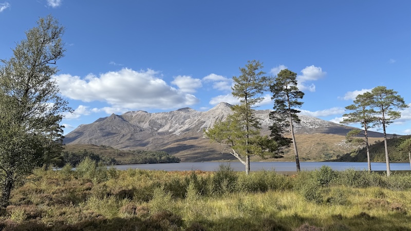
Instead, Sophie and I began from the side of the A896 to the north-east of the Corbett. We walked along the east shore of Loch Clair with stunning views opening up before us – and behind.
The north-eastern flank of our mountain could be seen across the loch although we were not yet able to spot our ascent route, which would lead us up the southern side.
Tip: If you are looking for a low-level walk surrounded by magnificent mountain scenery, try the almost level circuit along Loch Clair and around Loch Coulin.
Continuing towards Sgùrr Dubh
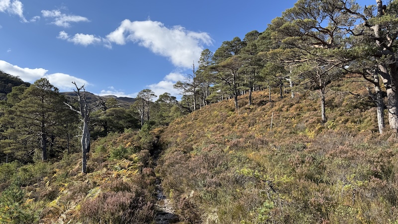
At the southern end of Loch Clair, Sophie and I headed west, passing a large house, Coulin Lodge, and then walking into much wilder terrain.
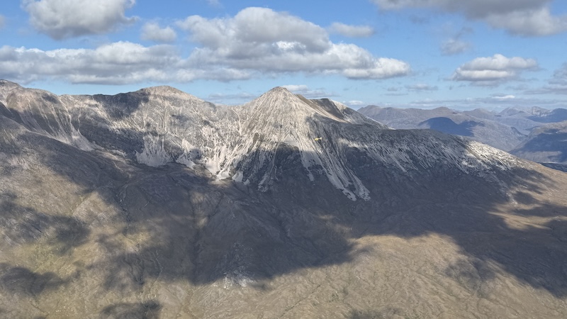
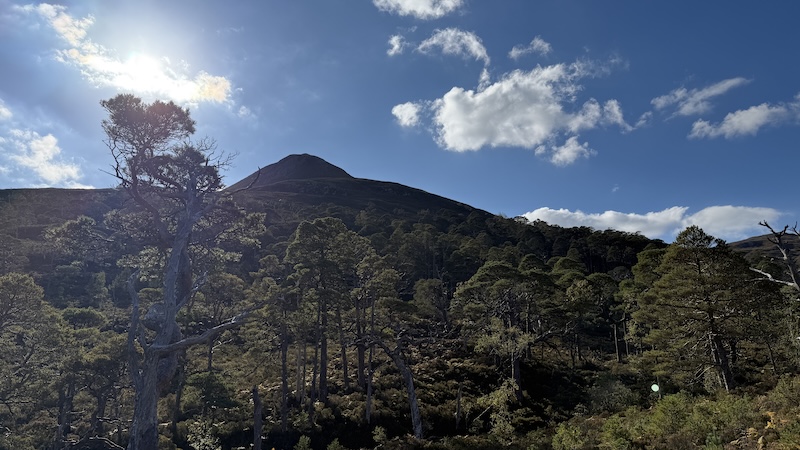
We followed a path, the ground thick on each side with heather and bracken, and through a woodland of Scots pines. Above us rose the craggy top of Sgùrr Dubh and, in the distance, we could see the high ridge of Liathach. Find out more about walking the Liathach ridge.
The path climbs gradually, tracking alongside a beautiful burn and waterfalls, and we enjoyed the increasingly warm rays of the sun and the amazing autumnal colours of heather, bracken, grass and trees.
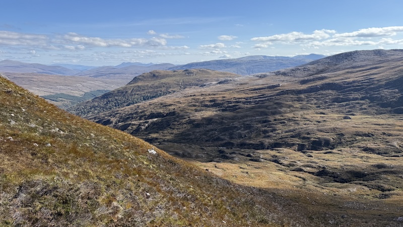
Where the path peters out at Coire an Leth-uillt, we headed on to a more rugged terrain and generally north-west towards a higher corrie. We had discussed our route by looking at the map and what we could see ahead and above us.
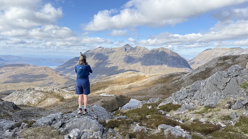
It seemed obvious to hike uphill into the corrie, avoiding steep crags either side, and towards a couple of high lochans. At around 700m elevation, at a stunning lochan with even better views of Liathach, we considered the map again and turned north-east, first along the shore of the loch and then up a steeper section of the mountain, weaving between rocks and crags.
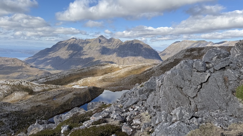
None of the route was daunting but it did require careful planning on the map and on the ground. The summit at 782m height seemed to come quite quickly and we enjoyed a sit down in a sheltered cairn.
The sun was still warm and the views along Glen Torridon, across to Liathach and Beinn Eighe were breath-taking.
Descent of Sgùrr Dubh
To descend, we followed almost exactly the same route except for a minor detour slightly to the east from the mountain summit.
While a circuit route is always a pleasure, walking an out-and-back route can bring rewards, too, because you see the landscape fully in both directions.
Distance: 12.5km
Total ascent: 732m