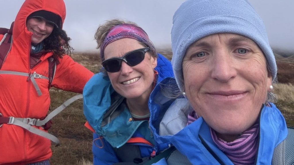
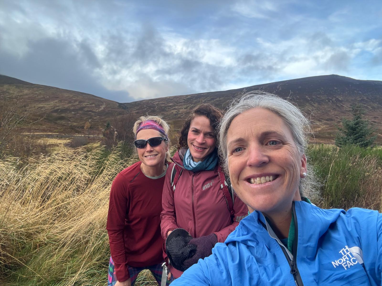
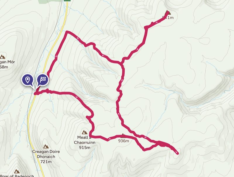
A hike-run with friends Cath and Geraldine from Drumochter saw us bagging two Munros, A’ Bhuidheanach Bheag (936m) and Carn na Caim (941m), as well as two Munro Tops, Glas Mheall Mor (928m) and Carn na Caim South Top (915m). The Munros summits were new ticks for Cath and second visits for me and Geraldine, while the Munro Tops were new summits for all three of us. Munro Tops are Munro height but do not feature on the list of 282 Munros.
Hike uphill to A’ Bhuidheanach Bheag
We parked at Balsporran, just off the A9 near Drumochter, and set off by crossing the main road and then heading almost directly uphill. We could see a track up ahead and simply walked across a section of thick vegetation and some bog to reach the track. It was only a couple of hundred metres before we were on the track and able to more easily stomp uphill.
The track was steep in places and we were moving at quite a brisk pace. I felt my leg muscles squealing at me from time to time, but mainly because I had completed a tough weights circuits session the day before. That was poor planning on my part!
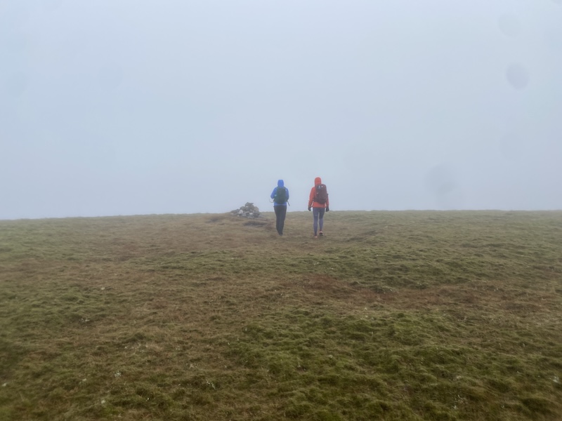
Sadly, the higher we ascended the more cloud we encountered. it was to be a day of hiking and running without being able to see much.
The first prominent height that we reached was Meal a’ Chaorainn at 916m although not before we did a tiny bit of “aimless wandering” around the wrong side of a hill. This happened because we became a little disorientated in the cloud.
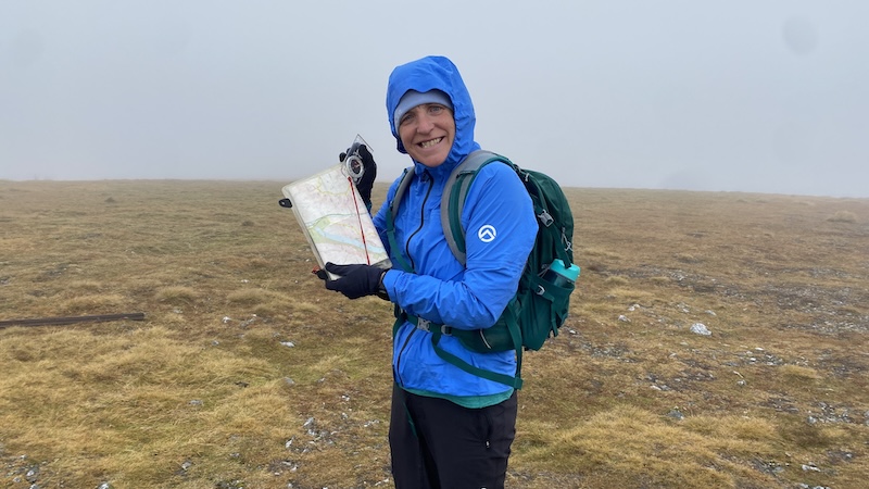
We were chatting and walking in what we thought was the right direction to a higher point but then realised we had drifted off course. After checking out maps and then setting a compass bearing we were soon walking in the correct direction. There was no damage done and very little time lost.
From this point, we checked the map and compass much more frequently.
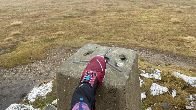
We could see a fence line on the map that would take us towards the top of A’ Bhuidheanach Bheag and so we kept close to this. The Munro rises to an elevation of 936m, which qualifies it as a Munro by only around 22m. I would love to tell you that we had a great view but to be honest, we could see very little.
A trek to Glas Mheall Mor
My friends are very familiar with my pursuit of the Munro Tops but this time I think I may have tried their patience. The hike to reach this outlying Top was a 2km slog across wet and boggy moorland.
On a positive note, it did give us more navigating practice because we could hardly see through the clouds.
At the 928m top, we turned back on our tracks and walked back towards the Munro. Skirting to the east, we located a track that was marked on the map and spent the rest of the day following decent paths and tracks.
On to Carn na Caim
To reach the next Munro, we passed by another summit rising to around 900m, A’ Bhuidheanach, and then the Munro Top, Carn na Caim South Top.
I confess I was feeling quite tired by the time we started the ascent to the second Munro. It wasn’t tough, nor steep, but I felt like it was too far away. We ran the descents and flatter sections and then marched up the ascents.
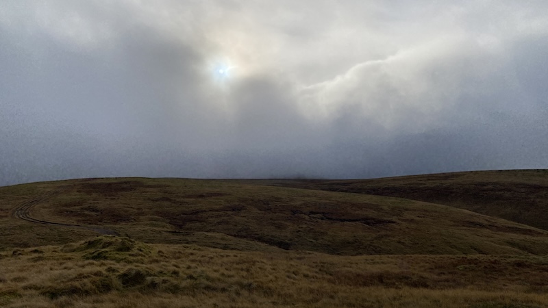
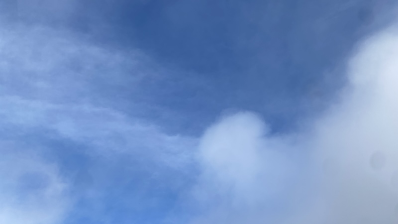
At times, the clouds parted and we were treated to some blue sky patches. Finally after a lot of undulating land we reached Carn na Caim, which only just qualifies as a Munro (by less than a metre).
The descent and return to the start
We retraced our steps, trotting and hiking along and hiking back to a bealach at about 900m elevation. An obvious track then took us fairly directly, sometimes steeply, downhill towards the A9.
At the base of the track, another wide but rough track headed south, running parallel with the road. It was flat and easy going but I felt like I had zero energy. Sometimes, I am full of beans and on other days I feel fatigued from the start to finish. The day had been one of those tired outings.
Still, it was great to bag two Munros and two Munro Tops in one big run-hike and with good friends.
Drumochter Munros A’ Bhuidheanach Bheag & Carn na Caim, plus two Munro Tops
Distance: 24km
Total elevation: 1100m