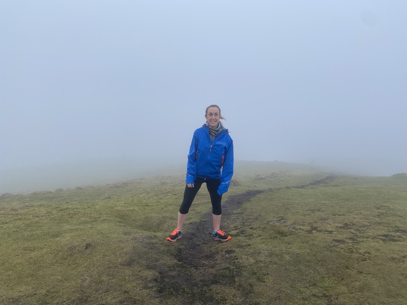
I am fortunate to have many hills and trails to explore locally and this route takes in three peaks in the eastern Campsie Fells. I ran with a friend Nic, for enjoyment (and safety… the bog can be deep in places).
The route starts on the B822 (Crow Road) high above Lennoxtown. At first, the route climbs the tarmac road before reaching a forest track to the east. This climbs through trees, at first steeply before levelling out to an easier uphill gradient.
The route heads through sheltered forestry, still going eastwards. At a major track junction, stay right. The track curves to the south and then heads east again, dropping down and up a deep gorge. There is a river to cross at the base.
Be warned, this is a generally muddy and boggy route so it is impossible to have dry feet unless you wear wellies or waterproof socks.
The forest clears as you climb and then joins a short section of zig-zag path. The route to the top of Meikle Bin is from the north and has a few false summits.


Peak 1: Meikle Bin summit
Before you head on to the peak, look right (west) to see a faint path that leads to the remains of a crashed plane. It was the site of a fatal accident in January 1950, when a Fairey Firefly of the Royal Navy fleet plane crashed just below the summit in low cloud while en route to HMS Sanderling Naval Air Station. Both crewmen were killed on impact. Wreckage can also be seen on east slope.
Meikle Bin is the second highest hill in the Campsie Fells at 570m (1,870 ft). The views on a clear day are expansive. Sadly, on Saturday, we could see only cloud, although this did bring its own quality. I like the feeling of being remote, surrounded by clouds, yet still just a few miles from urban areas.
Also read: Campsie Fell ski tour to Meikle Bin.
From Meikle Bin, the route heads south, descending off the hill and then into a wooded gorge. When you meet a fence/wall, climb carefully over and then follow the line of the fence west and south west.
It was very boggy, especially after the recent snow melt. Cort-Ma-Law is in a south-south-westerly direction. There were sections of path and lots of bog and grassy tussocks.


Peak 2: Cort-Ma-Law
On a clear day, Cort-Ma-Law trig is easily spotted but we had to rely on careful route finding. OS Map app is great for this.
My friend Nic had never been to Cort-Ma-Law. She looked rather underwhelmed when we arrived, especially as the views were non-existent. (I’ll need to take her back there when the sky is blue!).
Cort-Ma-Law is at a height of 531m (1742ft) and usually you can see a vista of hills and green valley looking south.
The third peak of the day was Lecket Hill. Heading north-west, we crossed more bog than I have seen for a while. The bog is very wet, green and deep. My advice is to go with a friend if you plan to walk or run here in case you end up with both legs deep in the bog.
We actually found it very funny as we tried to negotiate the bogs, going round where we could or heading across with feet moving as fast as possible. I did ended up in the bog up to my knee at one point but mostly it was fine.
Also read: Five great walks or runs near Glasgow.

Peak 3: Lecket Hill
There is a small piles of stones forming a cairn on Lecket hill at 547m (1794ft)/ An obvious path heads west, descending to the roadside after crossing a fence and then passing through a tall metal gate. By the time I reached my van again my feet had thawed from the icy bog and I was pleased to have braved the overcast weather for a great hill loop.
The route is around 13.5km/8miles with a total elevation gain of around 600m/2000ft.

See OS Map route: Three peaks in the Campsie Fells.
- Please do support my writing and exploring:

