I have been keenly bagging Corbetts and on a three-day trip to the north of Scotland, my friend Ben and I ticked off four summits. Three of the Corbetts were new to me. On day two, we headed for the ridge of Foinaven.
Rather than access Foinaven from the south, which would have seen as walking the same track as we did the day beef for Arkle and Meall Horn, we decided to follow a circuit from the north as suggested by Walk Highlands. In retrospect, I am not sure I’d recommend this route and I plan to return to the area sometime to walk in from the south.


Circuit walk of Foinaven
We parked at a small lay-by area off the A838 and just north of Gualin House. To start the route you need to walk a short way along the A838. Walk Highlands suggest you follow the circuit clockwise, but we decided to go anti-clockwise. I don’t think this made much difference to the overall impression of the walk.
There is some 4km of boggy and wet terrain to tramp across to reach the base of the start of the ascent on the northern side of the ridge of Foinaven. It had been quite a dry spell, yet the ground was still sodden.
As we walked, we talked about our hopes for the low cloud and lag to lift. The weather had been generally very good over previous days and we were keen for a brighter sky to return. The area is spectacular and we had heard the ridge of Foinaven is superb, so we really wanted the cloud to lift.
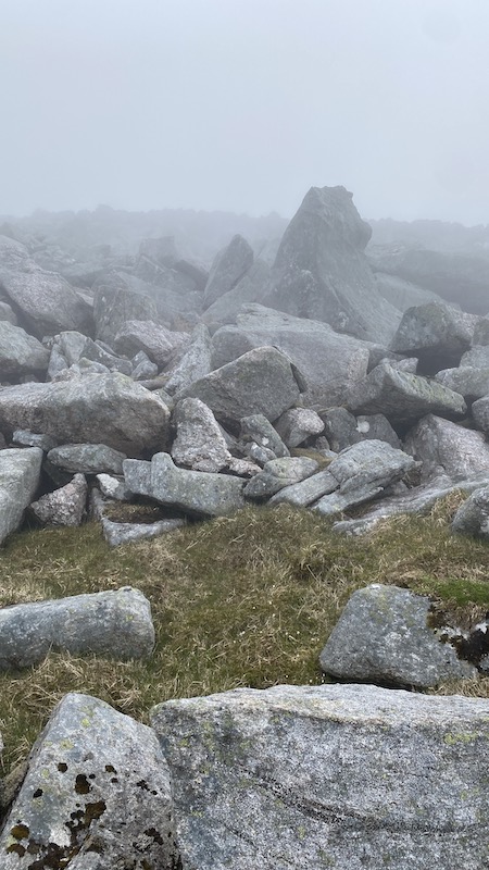
The route for the first section was undulating until we reached the mountain itself, after which is was unforgivingly steep. We needed to make our way through a maze of boulders and rocks and also avoid a steep section of high crags.
It wasn’t easy to find the route and especially as we were faced with thick cloud all around. I think I lost my sense of humour for a short while as we plodded on and uphill in the damp. There was a sense that everywhere else in Scotland would be basking in sunshine, while we were trudging up a steep mountain in the cloud.
Thankfully, my mood lifted a bit as we climbed higher and eventually we could see patches of cloud breaking and blue sky peeing through. The sun was trying very hard to dissipate the clouds and there were flashes of warmth.
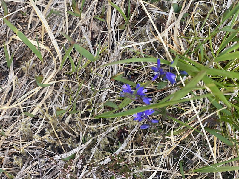
We entertained ourselves by spotting and naming as many wild flowers as we could.


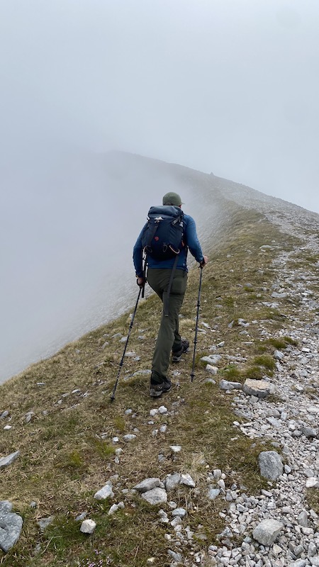
Higher still, the slopes became a jumble of boulders and we climbed our way up these to finally reach the ridge. The clouds thinned enough for us to see further along the ridge, although at no point was the entire ridge of Foinaven revealed.
We walked south to reach the cairn that marked the 914m summit. This mountain is just shy of being a Munro. Ben and I decided to sit for a while on the ridge, hoping that the cloud would disappear.
It was warm even at this height and we enjoyed seeing glimpses of the surrounding landscape as the clouds came and went.
A man that we had met earlier in the day, arrived on the ridge and we chatted for a while. He had taken a route from the south and enjoyed a more cloud-free ascent.


Descent of Foinaven
For the descent route, Ben and I headed east off the ridge. We had been expecting a fairly easy downhill on a well-trodden path but this wasn’t to be. The trod came and went and mostly went as we encountered wet ground, bog, boulders and rocks.
It turned out to be a very tough route in general with the steep descent no easier than the ascent we had encountered earlier in the day.
At some point, Ben went a little quiet and lost his sense of humour a bit. At least we hadn’t done this at the same time!
Finally, we dropped below the cloud line and we were able to see further afield. We spotted a wide track down in the glen and we headed for this. The track was much easier to walk on and undulated north.
We both felt fatigued and the sun was now shining hard but we enjoyed this section. We were grateful for the lovely views to keep us going and somehow we found some up-beat chat to maintain our mood until we could see the road where we had started.
There was a final sting in the tail when the track turned west and headed steeply uphill for the last 1km.
All in all, this is a challenging route with little in the way of easy route finding. Ben and I pledged to return another time to try the route from the south and to complete a full traverse of the ridge but on a a day when the sky is clear.

Foinaven route details:
Distance: 20km
Total ascent: 1091m
Route: Stava
Corbetts bagged: 120


