Many Munro baggers seem to dread the Munro Am Faochagach, in north-west Highlands, because of its infamously boggy moorland start and a river crossing. In spate, the river can be a tricky obstacle. So, instead of starting at Torrandhu bridge on the A835, my friend Cath and I biked and then ran-hiked an alternative route from Black Bridge, below Loch Glascarnoch, also on the A835.
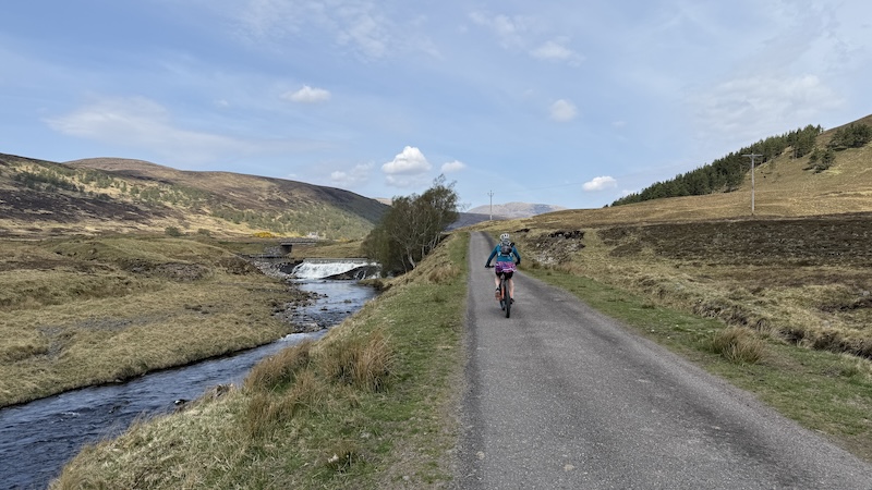
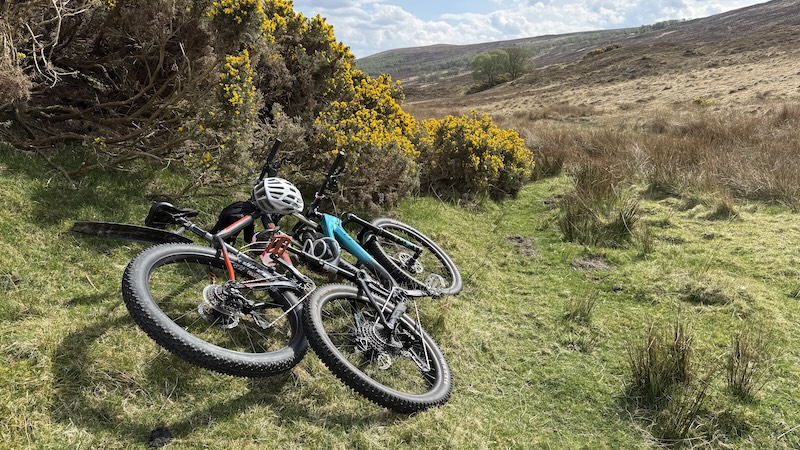
The first section took us by bike on a wide track from a layby off the road. A hybrid bike, gravel bike or mountain bike are fine for the Landrover track. The fairly easy-going route is 4.7km and 75m of ascent.

Bike to run-hike
Leaving our bikes near Strathvaich Lodge, we took a path uphill and in westerly direction. In hindsight, I recommend you continue further along the track, passing the lodge on your left to join a more defined track some 200m on.
This is the way we came back off the Munro and while the track is rough and very steep in places, it is much more obvious than the trod we tried to follow through vegetation and boggy ground. We were fortunate that there has been a dry spell in Scotland and the ground was not as wet as it might be but, even so, I think our return route is the best option for the outward hike.
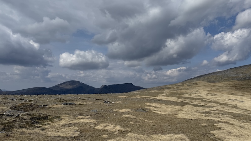
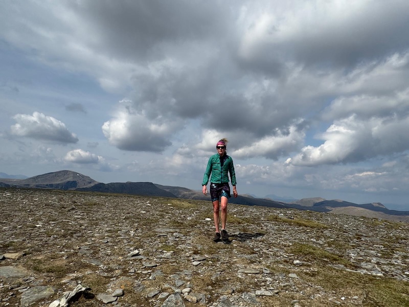
Our first aim was a rise, to the north-west, on Meall Coire nan Laogh, where there is a cairn at an elevation of 666m. Further on, another rise on Tom Ban Mor took us to 742m, before the lesser rise to Creag Rainich at 743m.
I recall that on the previous two outings on Am Faochagach from Torrandhu bridge, there were many stages of ups. It’s similar from the alternative start point.
Another small rise took Cath and I to Sron Liath at 761m elevation and then Drochaid a’ Ghlas Tuill, where our route joined the more common ascent of the Munro.

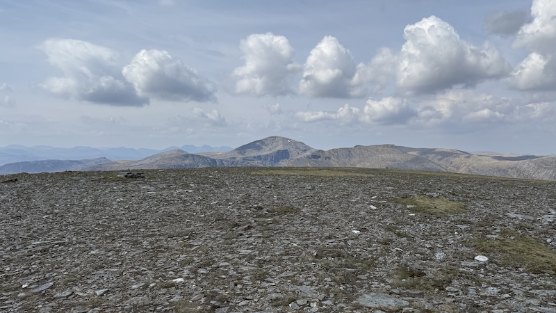
The higher we climbed, the easier the route finding became. The vegetation was short grass and some rocks, which meant it was possible to jog along, and we discovered a good trod.
Heading in a more northerly direction, we could now see the route snaking along a long and wide ridge towards the summit. For a while, it felt like we were making very slow progress but then, from around 845m, the terrain flattened and we quickly completed the final 1.5km or so.

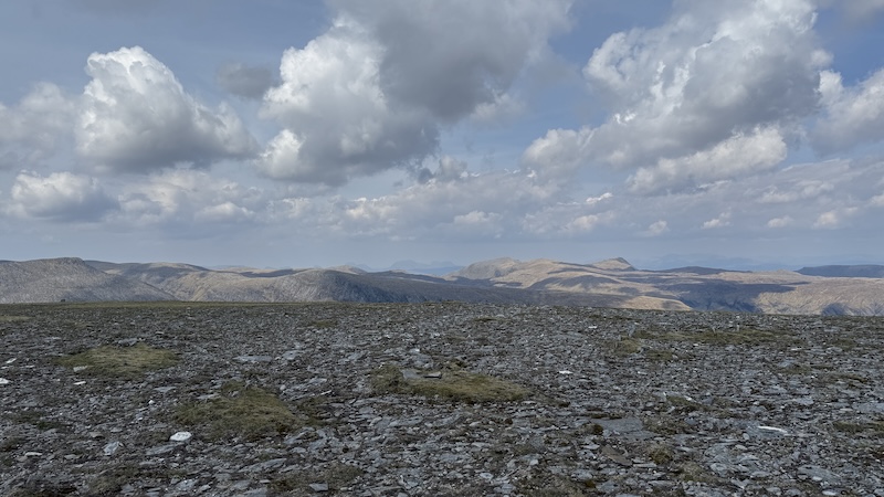
After stopping for a picnic lunch at the cairn – and to enjoy the far-sweeping views – at 953m height, we made our return on almost exactly the same route. We met two people walking uphill and they reported that the moorland from Torrandhu bridge was remarkably dry, while the river crossing had been possible on stepping stones. The water level in the river was low, apparently.
This summer has been a great time to tackle mountains with notoriously boggy sections because the ground has become very dry.
Further down the mountain, following our alternative route, we picked up a different track that took as back to the main track but north of the lodge, rather than south. See the map for details below. This proved to be easier and less boggy than the way we had started our hike.
Hike to bike
Swapping again to bikes, we cycled back to the roadside, enjoying a mostly downhill ride.
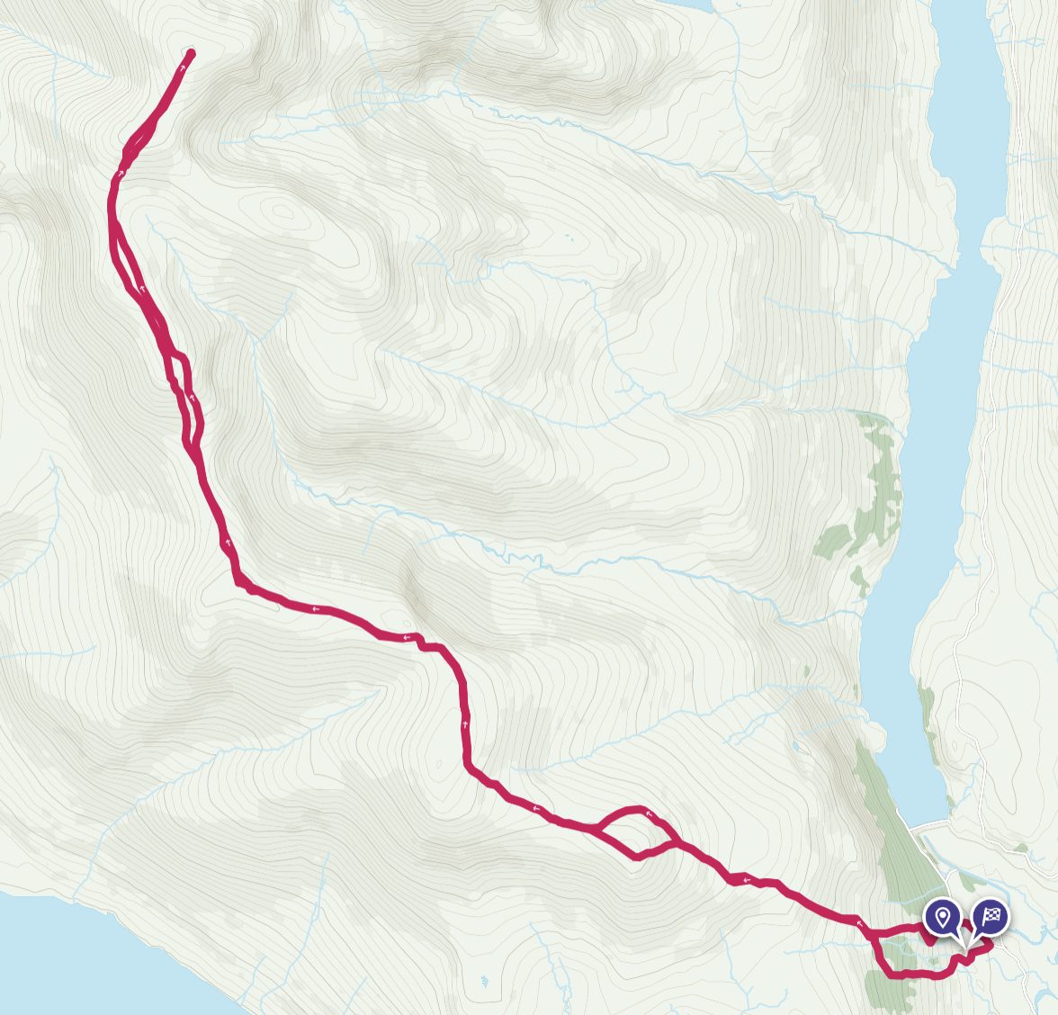
Route details: Am Faochagach from Black Bridge
Bike section at start and finish. 4.6km each way
Walk section and OS Maps. 18km total.
Comparing the usual route of Am Faochagach to the Black Bridge route
The Black Bridge route is longer and includes some 300m extra ascent. That’s 75m on the bike and 200m or so on foot. After a lot of rain, the Black Bridge route avoids the need for the extremely boggy march across moorland from Torrandhu bridge and also the worry of the river crossing.
I am not sure there is much to recommend Black Bridge over Torrandhu bridge during a dry spell, except that it can be fun to do mountains by a different route.