Apparently the third Monday in January is considered the most depressing day of the year. I had been feeling distinctly “meh” most of the weekend so instead of giving into the January Blues, I decided to take myself up a mountain. I had limited time and I didn’t want to be wading through too much snow, which led me to choose a relatively small mountain – another Fiona – and fairly close to home.
Beinn Tharsuinn, near Alness, Easter Ross, doesn’t get the best of reports on various websites. It’s surrounded by a growing windfarm – plus the necessary access tracks – and there is also a working quarry lower down the slopes.
In addition, while the route starts on a wide track, much of the walk is on slopes covered in thick vegetation and with a large area of huge peat hags.
Still, the route ticked many other positives for me, being around the right distance and with a decent amount of elevation. I could see on the weather forecast that the conditions would be fine (fine, for winter) with good visibility and only wind at higher altitude.
I plotted most of the route on my Os Map app, packed a map and compass and told a friend where I was going.
Mid-week walking often means you meet no-one, which actually suited me. I was content with my own company and I was hoping to walk off my sense of mild depression.
When I arrived at the start point, at a parking area park just north of Strathrory Bridge on the B9176, above Alness, I was surprised to see another car already parked. I expected I would see this person but, in the event, I only spotted their footprints.
Route to the first summit
There was a lot of snow by the side of the road and on the first section of the track, so I took miscrospikes – see my review in the TGO magazine – as well as snowshoes. The snow was mostly hard packed, although in places this had turned to ice so I needed to pick where I walked.
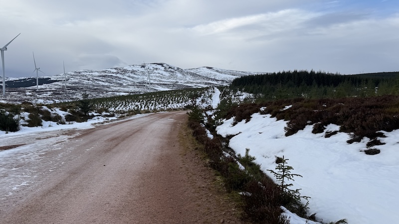
After 1km or so, the snow disappeared with only ice at the side of the track. The snow and ice came and went for much of the 3km walk along the track. I was able to avoid the worst by picking my steps carefully.
As I walked, I could see a forest of trees ahead – and a forest of huge wind turbines to my right and also further in the distance.
The two summits, the first at 637m elevation and the true summit of Beinn Tharsuinn at 689m, could also be seen to the north-west. The hills looked rounded, wild and covered in a tapestry of heather and snow.
Having started at around 180m height, the track climbed around 120m more. There was a short downhill to an icy bridge over the Strathrory River before the first big push uphill arrived.
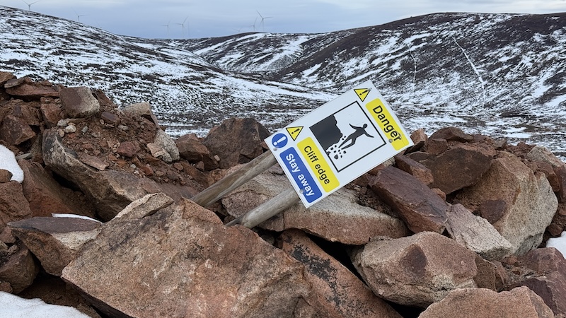
First though, I needed to negotiate a small quarry area. It is a working quarry, although there was no evidenc of workers when I was there. There were “danger” signs, so I was cautious with my route, heading left and up over the side of the quarry.
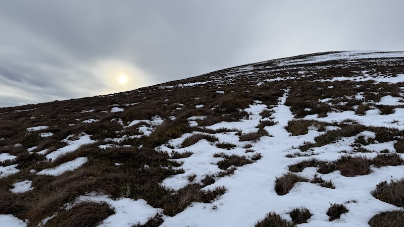
It turned out the mountain slope was steeper than I’d expected and much rougher. There was no trod to be found and I had to tramp up thick heather. The ground was part icy and part thawed and I couldn’t tell what my foot would do each time I placed it. This meant I was cautious and took shorter steps than normal. My pack was also quite weighty, filled with winter kit including my snowshoes.
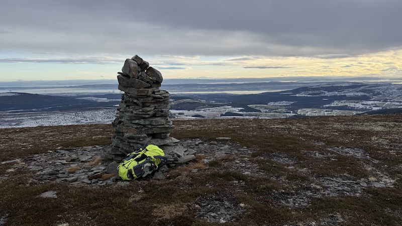
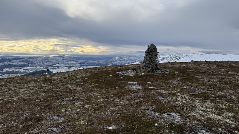
The slope became steeper the higher I climbed until finally I could see a large stone cairn. It is the sort of cairn tat has been properly built with cement and if I hadn’t read about the actual summit some 800m north-west, I would have initially thought this was the top. However, the cairn marks Tor Leathann.
I welcomed the shorter vegetation on the rounded top and stopped for a short break.
Down and up to Beinn Tharsuinn summit
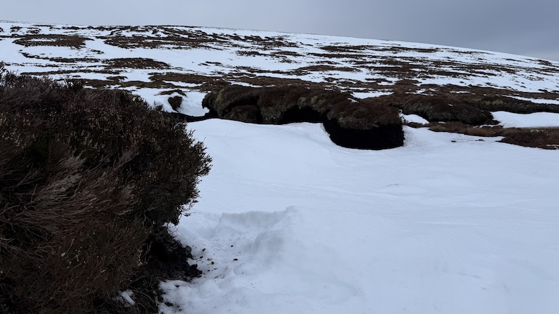
I could easily see the Beinn Tharsuinn summit but I checked my map anyway. I needed to descend to a bealach at 588m before climbing again. This time there was a lot more snow, in large patches. As it turned out, the snow had filled in the great troughs between huge peat hags. This was a major bonus and pulling on my snowshoes, I made swift work of the next ascent.
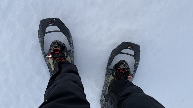
I weaved and zig-zagged a bit so that I could stay on the snow but I enjoyed using the snowshoes. I reckoned I might need the microspikes for the descent.
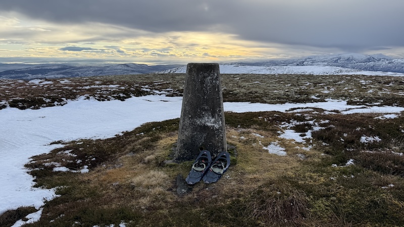
Beinn Tharsuinn is marked with a trig pillar and after taking a couple of photos and enjoying the wide views of snow-capped mountains and across to the Cromarty Firth and Cromarty Bridge, I quickly set off again. The wind was quite strong and very chilly.
I’d planned a route descending more directly east from the top but when I set off I realised I’d be in the wind for a while, so I dropped back to the bealach again. It was much more sheltered and I climbed again to Tor Leathann. Strangely, it was much less breezy on this summit.
I returned on a similar route to my outward walk to reach the track once again. Walking downhill was more of a challenge than I’d expected because of the icy and snowy ground. Every step felt trepidatious because I didn’t know if the snow patch would hold my weight, or if my foot would sink through. Meanwhile, the vegetation was part icy hard and part soggy soft. The slope was also quite steep.
I avoided the quarry on my way downhill by walking further north.
A walk back along the track
I was happy to finally reach the bridge over the river again. While I could stride out more on the easier terrain, I had to keep an eye on each step due to sudden sections of ice. I almost lost my footing a few times so I paid attention even more. The last thing I needed was a fall.
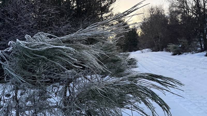
The air felt colder and there was frost still covering the plants at the side fo the track.
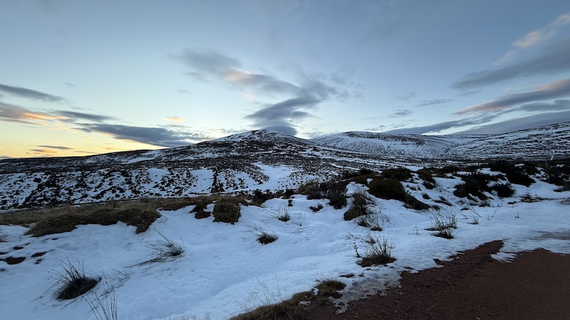
The light was fading as I reached the final snowy section of track towards the parking area. The snow was useful because it made the track lighter as the sun started to set.
The details: Beinn Tharsuinn, near Alness
My moving time was a little over 3 hours 30 minutes.
Distance: 15km
Total elevation: 670m.
Fionas bagged: 54.