When my Corbett bagging friend Ben suggested we walk a circuit in the Flowerdale Forest, near Torridon, to tick off two new Corbett summits, Beinn an Eoin and Baosbheinn, I was very interested.
I knew the area would be stunning and with fabulous views. Plus the weather forecast was good for our chosen day.
The distance of 25km (15.5 miles) was within our comfort zone for a day of hiking. The total overall ascent of around 1800m would test us, but, again, we agreed it was entirely achievable.
We referred to a number of different resources, such as the single Corbett routes of Beinn an Eoin and Baosbheinn on Walk Highlands, as well as different double Corbett routes suggested by Steven Fallon, the SMC Corbetts guidebook and the Cicerone Corbett guidebook (I receive a small commission for the sale of the books through this website.)
Then Ben plotted a course that seemed reasonable and fairly straightforward.
We also knew that we might need to adapt the route as we walked so we headed off to complete the Corbetts circuit with an open mind.

Hiking the Corbetts, Beinn an Eoin and Baosbheinn
The Flowerdale Forest is located near Torridon and south-east of Gairloch. If you are looking for shorter walks amid a magnificent glen, try one of the waymarked routes that start from the roadside (A832).
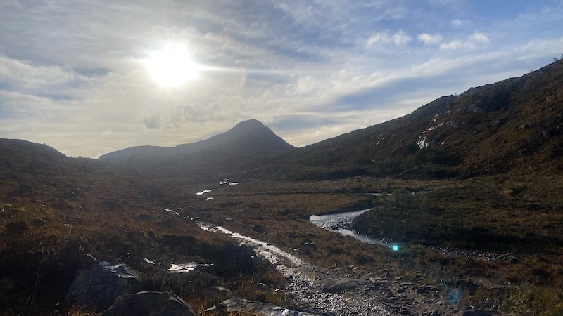
Our circuit of the two Corbetts started on a good track that headed south-east into the glen. The day was warm and the sky was bright. Ben and I quickly needed to shed winter-warm layers and we chatted about how lucky we were to be enjoying a day outdoors in autumn sunshine.
We also spotted various colour-coded walks in the glen. If you are looking for shorter way-marked routes in a remote-feeling glen in north-west Scotland, these would be a brilliant choice.
However, there would be no waymarking for us on our Corbetts adventure.
Beinn an Eoin looms large
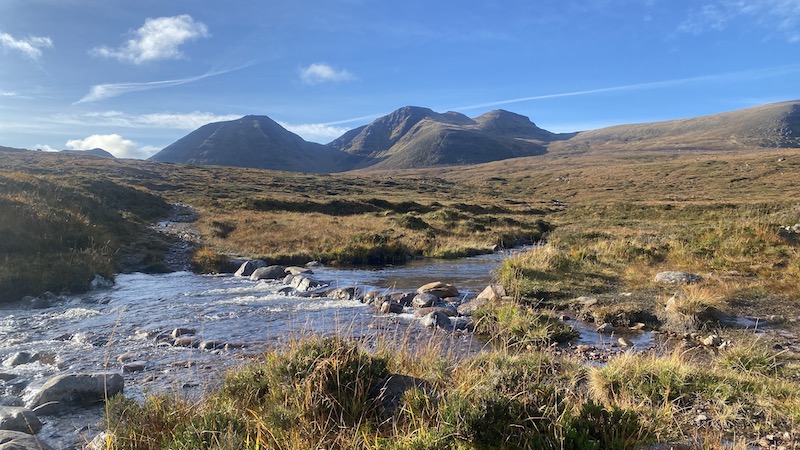
Ahead, our first mountain, Beinn an Eoin, rose dramatically and, to the west, we could see the breath-taking, undulating ridge where our second Corbett, Baosbheinn, was located.
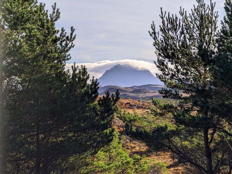
In the distance, to the east, we could easily name Slioch. The distinctive outline rose magnificently behind Loch Maree.
After about 6km and at a height of 375m (we started at 114m elevation), we diverted off the track and on to a vague trod as we made our way towards the northern slope of Beinn an Eoin. The ground was boggy, heathery and tussocky and we lost and found the trod more times than I can recall.
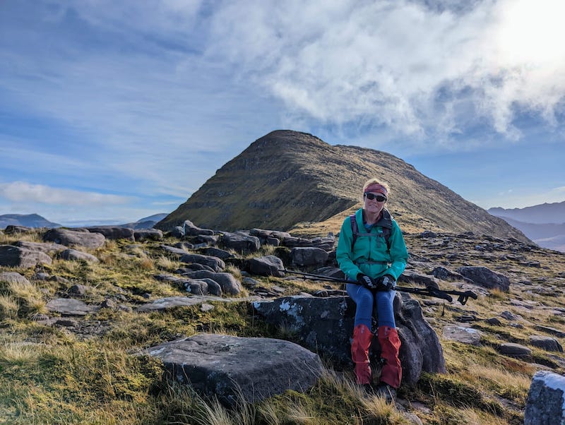
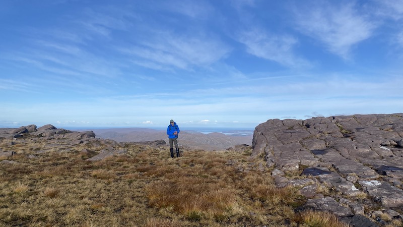
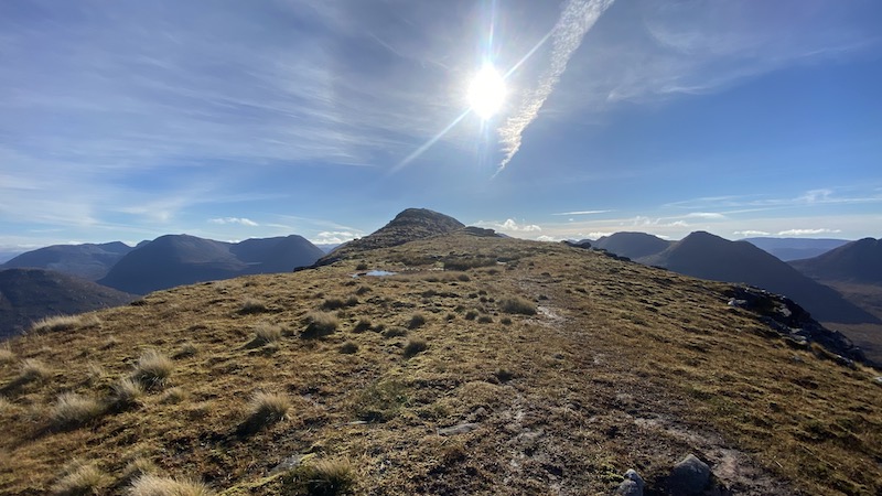
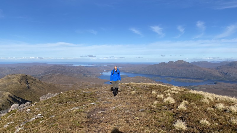
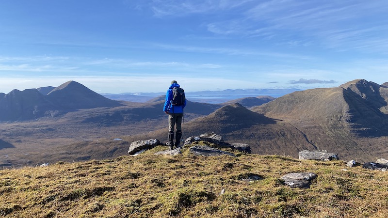
From the outset, the ascent of the Corbett was steep. We avoided obvious crags to the south and climbed south-east, then east and then south. Finally, we reached a high point on the northern end of a long ridge at 682m.
The route became much flatter and Ben and I were grateful for some easier walking after the tough slog up the mountainside. We also spotted two golden eagles. One swooped below us and very close to the ridge so that we could see the distinct markings of the incredible bird of prey.
In the distance, we heard the roar of stags and later on we spotted a stag and a herd of hinds lower down the glen. The wildlife in this part of Scotland is superb.
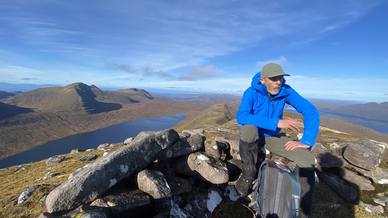
We reached the summit of the Corbett at 855m a little while later, after ascending another steep, but thankfully shorter, slope.
The fantastic weather and brilliant vistas of numerous mountains, especially the giant peaks of Torridon, all around were just rewards for our efforts so far – but we were not even half-way on the long and rugged circuit.
A tricky descent of Beinn an Eoin
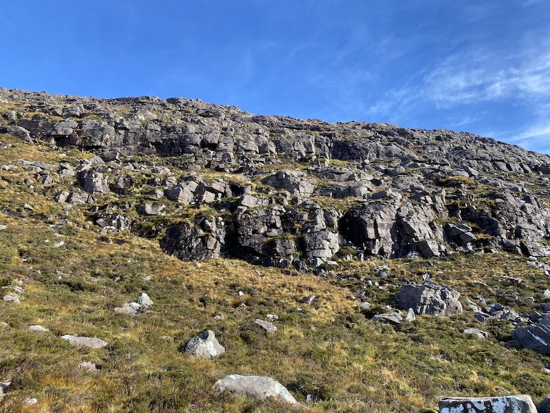
There was a lot more “steep” to come. First the westerly descent from Beinn an Eoin took us downwards through a tricky jumble of boulders, rocks, small cliffs and crags. It never felt overly dangerous but we did need to take care not to slip on the steep gradient, or end up above a drop-off too high to walk or bum-shuffle down.
Steven Fallon suggests retracing the route along the ridge for a bit before choosing a descent line, also westwards. From our perspective lower down the slope, Ben and I agreed this might be an easier option, with fewer rocks and crags to negotiate, although it would still be extremely steep.
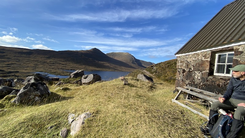
Finally, we made it to a track that hugs the eastern shore of Loch na h-Oidhche. It would be possible to follow this track back north to the start of the rout if you only wanted to walk one Corbett. We also came across a bothy on the southern shore of the loch.
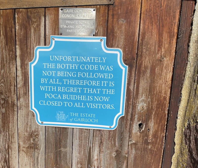
The bothy was once open to the public but a sign on the door told us that due to some irresponsible people, it was no closed to general use. This seems a shame as it is in a wonderful location.
Ben and I briefly talked about whether we had enjoyed enough walking for the day – but both of us were keen to continue with our planned circuit.

Part two: The hike to Corbett 2
Walking west, we tramped over a lot of very soggy ground. There were very few trods to be seen and we simply chose a direct course that would take us to the lower slopes of the next Corbett.
Our descent had taken us back down to 390m elevation and so we faced another huge climb uphill. Again the slope was very steep and the rough vegetation proved to be extremely testing.
As often happens when Ben and I are in a mood to “just get on with this climb” we both drifted into our own zones. I fell silent and pushed uphill, while Ben did the same a short distance away.
Every time I looked upwards it seemed like there was still a long way to climb. And each time I reached a high “step” – or slight flattening of the gradient – I could see yet more mountain slope veering upwards.
Every so often we stopped, chatted briefly, enjoyed the views of mountains and ever-expanding west coast and then pushed on again.
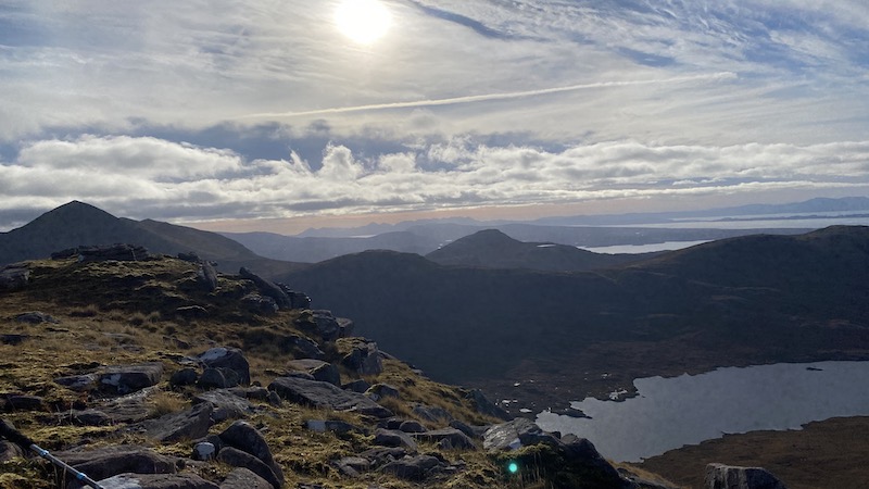
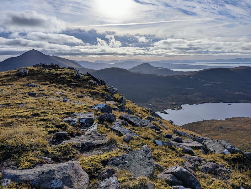
Eventually, we reached a lower summit at the southern end of the ridge at around 700m. From here there were many ups and downs as we tracked north, hoping that the true summit would eventually come into sight.
And then we saw it! Cruelly, it required a rather demoralising final descent and re-ascent. Ben and I stopped for a short rest, ate a snack and then, feeling slightly more fortified both mentally and physically, we walked downhill and up another steep climb to to finally claim the second Corbett of Baosbheinn at 875m.
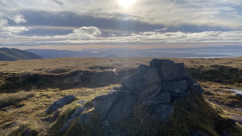
The final part: Decisions, decisions
There were several choices for the return to the start of this walk. It is possible to follow a spur of the ridge to the north-east, or walk further along the ridge to descend a section of very steep slope.
After a bit of discussion, Ben and I decided we preferred the idea of more of a ridge walk. Our choice was swayed by the fact that at elevation on the ridge there was a much thinner layer of vegetation, plus we could see a fairly decent trod ahead.
After a great deal of thick vegetation, soggy ground and many steep ups and downs, we both liked the idea of some easier walking. And for a while, it really was very enjoyable.
We commented on how similar the gentle ups and downs of the wide ridge were to the mountains of Dumfries & Galloway, in southern Scotland.
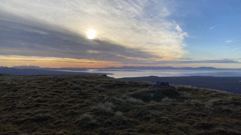
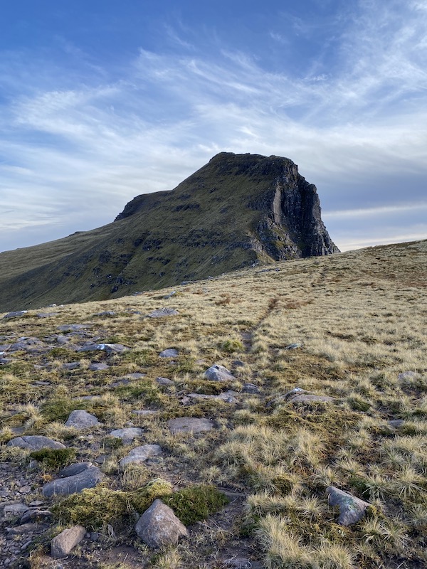
But this didn’t last too long, sadly. Further north along the ridge there were some very steep descents, as well as some rather unnerving narrow sections with steep drops either side. Added to this, the ground was frequently slippery due to wet mud and moss.
At one point, I felt my nerve giving way a bit and I had to give myself a bit of a talking to, to carry on.
One bonus, however, was the views west along the coast and out to islands, including Skye. By this point, the sun was starting to set and the vista was amazing.
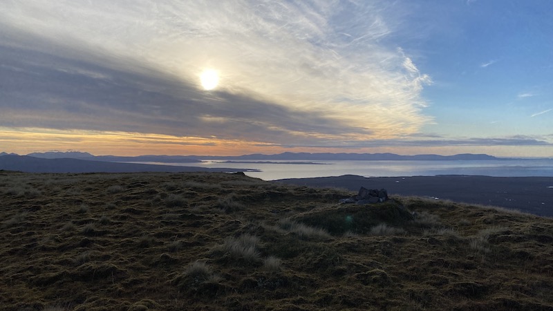
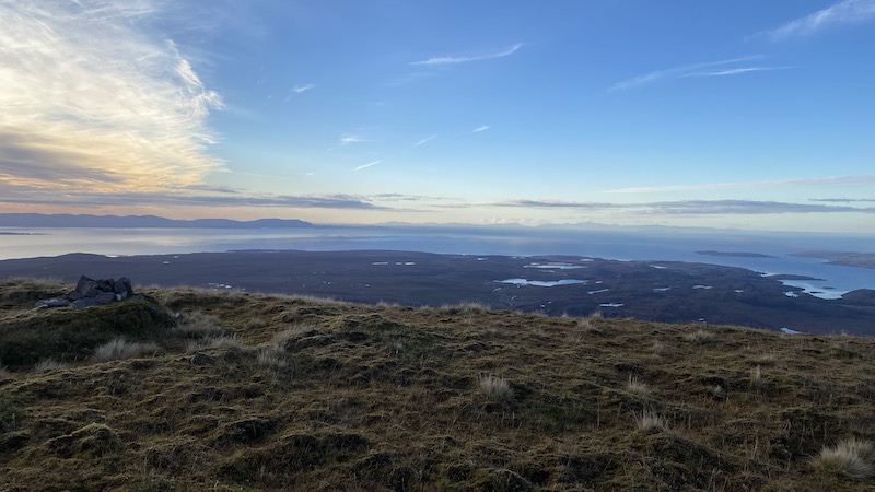
The final descent from the ridge turned out to be the steepest and most challenging of the entire circuit. We will never know if it would have been better to take an earlier descent route but, as it turned out, we found ourselves having to zig-zag down the wet grass to prevent a fall.
I would like to be able to say that things improved… but, sadly, it became even more challenging. Lower down the slope, the terrain turned to a hellish and challenging mix of heather, tussocks, holes, bog, small trees and rocks.
Every time I placed my foot in front of me and lower down the mountain, I had no idea what would happen. Sometimes it felt fine, but mostly my foot twisted, turned and dropped suddenly. Added to this, my walking poles, which offered a good balancing aid, constantly got stuck in vegetation and under tree roots and rocks.
The gradient occasionally evened out at bit but mostly it was steep and made our progress slow.
We could see in the far distance where we needed to get to but it involved a very long and arduous tramp over more testing terrain and over many unexpected ups and downs. I was hungry and tired – and I confess I lost my sense of humour for a while.
Ben and I fell silent as we both dealt with our emotions at such a hard shift on a grand Corbetts circuit. We knew we would be proud of our achievement in the end – and the route had taken us through a magnificent landscape – but it had been a tough and exhausting day.
Finally, and with a huge sense of relief, we reached the banks of a river where we had a choice to follow a boggy looking track on one side, or cross a rickety bridge and climb some more to regain the excellent track we had walked at the start of the day. We went for the latter option.
As we retraced our steps on the track, the sun was setting and we walked the final stretch in near darkness.
We reflected that it had been a much longer and tougher day than we had expected but that these Corbetts are two of the finest. On balance, the amazing location, vistas, wildlife and October sunshine outweighed the hard work.

Route details: Beinn an Eoin and Baosbheinn, Flowerdale
Distance: 25km
Total elevation: 1840m.
Corbetts bagged: 107 and 018.
