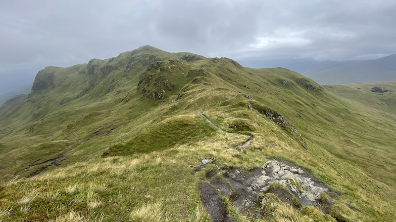
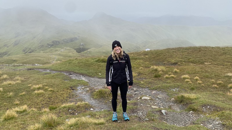
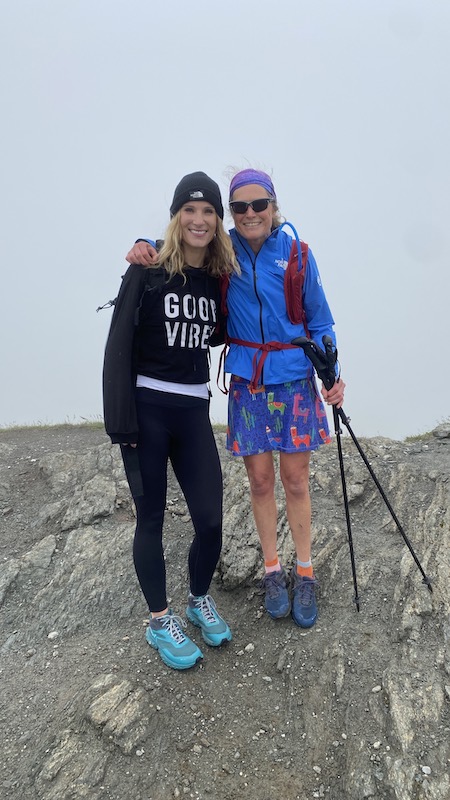
I walked to the Munro, Meall nan Tarmachan, and along the ridge with my friend Sarah.
Uncertain weather and a few choices
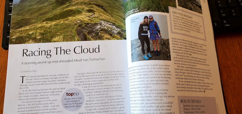
The forecast had been for overcast conditions on the day I drove a winding road high into the Ben Lawers mountain range near Killin, Perthshire, although, as yet, it was difficult to tell if the clouds would rise, or fall.
So far, the morning had been dry and my friend Sarah and I were hopeful that we might summit our chosen mountain, Meall nan Tarmachan, without the need for waterproofs.
Our decision to target one of the easier Munros – the 282 Scottish peaks with a summit of at least 3000ft – had taken into account a week of unpredictable weather.
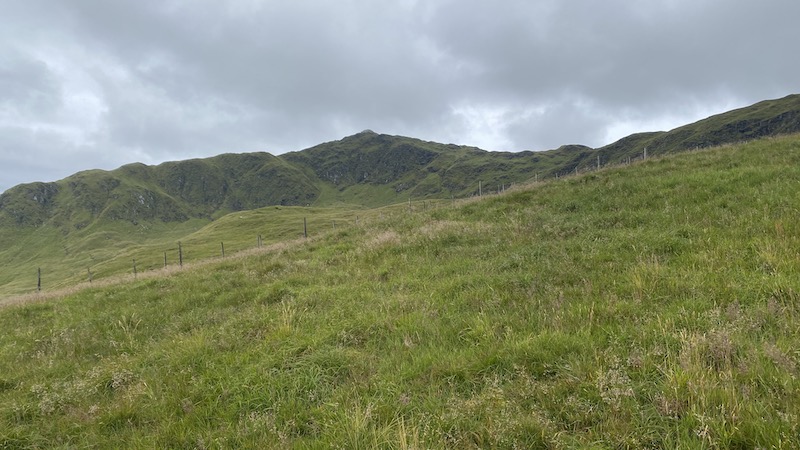
While the mountain walk would take us to a height of 1042m (3421ft), the route is on a well-trodden path and totals little more than 609m (2000ft) elevation gain. In addition, if conditions allowed, we had the option to continue along a fine ridge, rather than simply retracing our steps.
For Sarah, this would be her first time on the Munro. It was my fifth ascent and as we set off from the Ben Lawers car park, I recalled the previous outings, including a run of seven peaks in the Lawers range and, another time, during a challenging quadrathlon.
It was fair to say, the mountain was familiar to me, although on every occasion the weather had been strikingly different, from stunning sunshine to torrential rain.
This is one of the attractions of hiking Scotland’s mountains – on every walk, even if it is the same peak repeatedly, the views, atmosphere and environment are always different.
The hike to the Munro summit
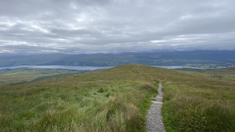
To start with, as Sarah and I walked a gentle slope on the lower flanks of Meall nan Tarmachan and then climbed more steeply to the ridgeline, we were treated to clear views across the wider mountainscape and down to the waters of vast Loch Tay.
An obvious path through grassy upland led us to our first high point at more than 900m from where we enjoyed another beautiful vista of the wider Lawers range, this time glimpsed across pretty Lochan na Lairige.
Sadly, only 30m higher up, our luck ran out when we found ourselves suddenly surrounded by thickening cloud. At the Munro summit, our view was only mist, instead of a panorama that in good weather includes many surrounding peaks and glens.
Despite the clag, Sarah and I agreed to continue south-west along the ridge. We were enjoying the opportunity to have a long overdue catch-up chat and we hoped there might be better views further on.
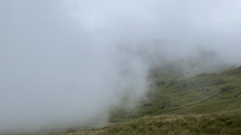
On a well-trodden path, we walked over a small hill and then ascended to reach another high point, Meall Garbh at 1025m (3366ft). As we walked, the cloud came and went, swirling dramatically to offer snippets of the landscape below and the craggy, undulating ridge stretching west.
We scrambled easily down a short but steep rocky section, then followed the path upwards again to a small cairn on Beinn nan Eachan marking 999m (3280ft) elevation.

Once again enveloped by thick, eerily quiet mist, we kept a careful eye on the way ahead as we descended to a bealach and picked up a narrow path heading south off the ridge.
Checking the map, I could see the route tracked south-easterly but we had to walk another several hundred feet downhill and below the cloud before this became obvious on the ground.
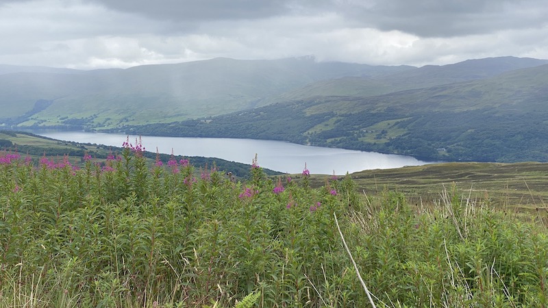
And, then, everything became clear all at once. Our fainter path could be seen heading to a wide track lower down the glen, while the vista before us was spectacular with Loch Tay stretching out amid a verdant, rolling landscape dotted with vibrant wild flowers.
As we completed the last couple of miles of the circuit, Sarah and I looked up to see clouds gathering ever more deeply along the entire ridge. We agreed we had enjoyed the best of the day’s weather.
The walk details
Start/finish: Ben Lawers car park
Distance: 8 miles
Total elevation: 2600ft
For a suggested route: Meall nan Tarmachan.
This article appeared in The Scots Magazine, where I am a regular contributor.

