A map, compass, GPS unit and maybe the location of the sun or stars come to mind when you think of outdoor navigation tools. But did you know that plants can also be used as a navigational aid ? Surprising hints about your location, the topography and even the direction you are facing can be found in the surrounding vegetation. Acquiring the ability to read these botanical signs enhances the navigational skills of seasoned walkers.
Knowing how plants react to their surroundings can be quite helpful, whether you are stuck in a dense Scottish mist with only a few metres of visibility or you just want to strengthen your bond with the landscape. And while you may be considering flower delivery spokane to send a happy bouquet to someone back home, flowers have far more useful purposes here in the hills.
Plants as directional indicators
Even on cloudy days, you can use the natural relationship between certain plants and the sun to determine your direction. When your compass is hidden at the bottom of your pack and you are unable to see the sun, this is especially helpful.
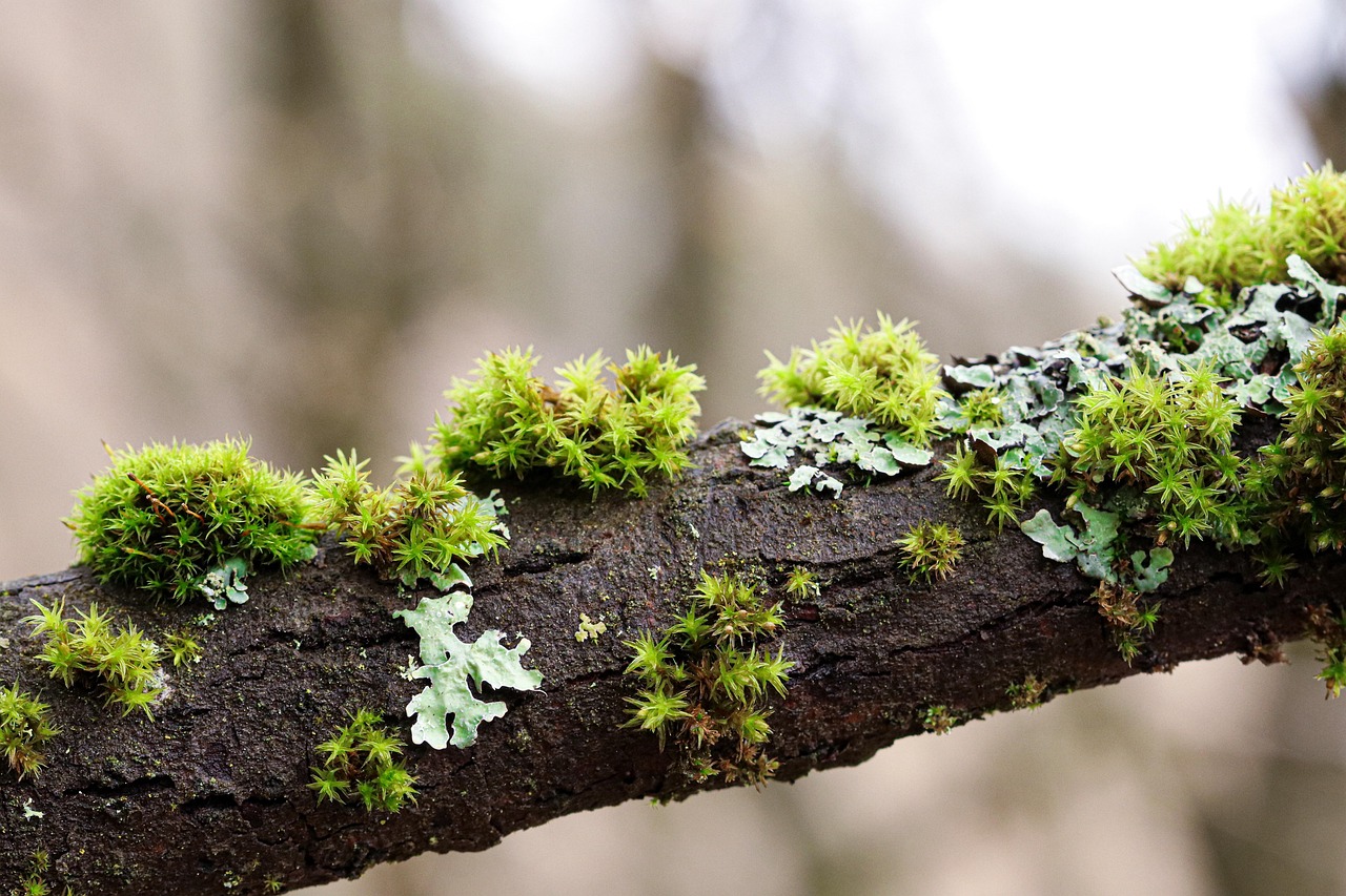
Moss on Trees: The proverb “moss grows on the north side of trees” is probably familiar to you. This has some truth to it, but it needs more nuance, just like a lot of folklore-based navigation advice. Moss likes moist, shaded environments. In the northern hemisphere, moss prefers to grow on the north-facing side of a tree trunk because it receives less direct sunlight and retains moisture longer. This is not a strict guideline, though. Moss can grow all around a trunk in deep forests. Growth in open spaces can be influenced by local moisture patterns and prevailing winds. It is a useful hint, but it should never be your sole source of direction.
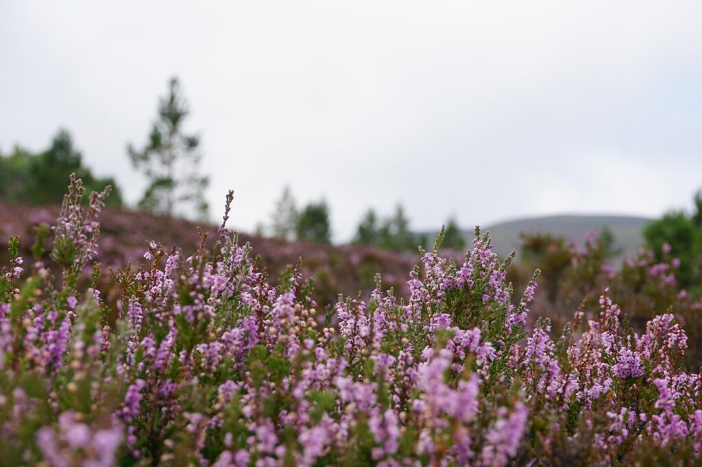
Heather and Sun Exposure: Heather is ubiquitous in the Scottish Highlands. Hillwalkers with experience are aware that heather prefers to lean slightly south in order to receive as much sunlight as possible. You may be able to get a general sense of direction on a misty day by looking at the direction that heather flowers are facing.
Plant Zones and Altitude
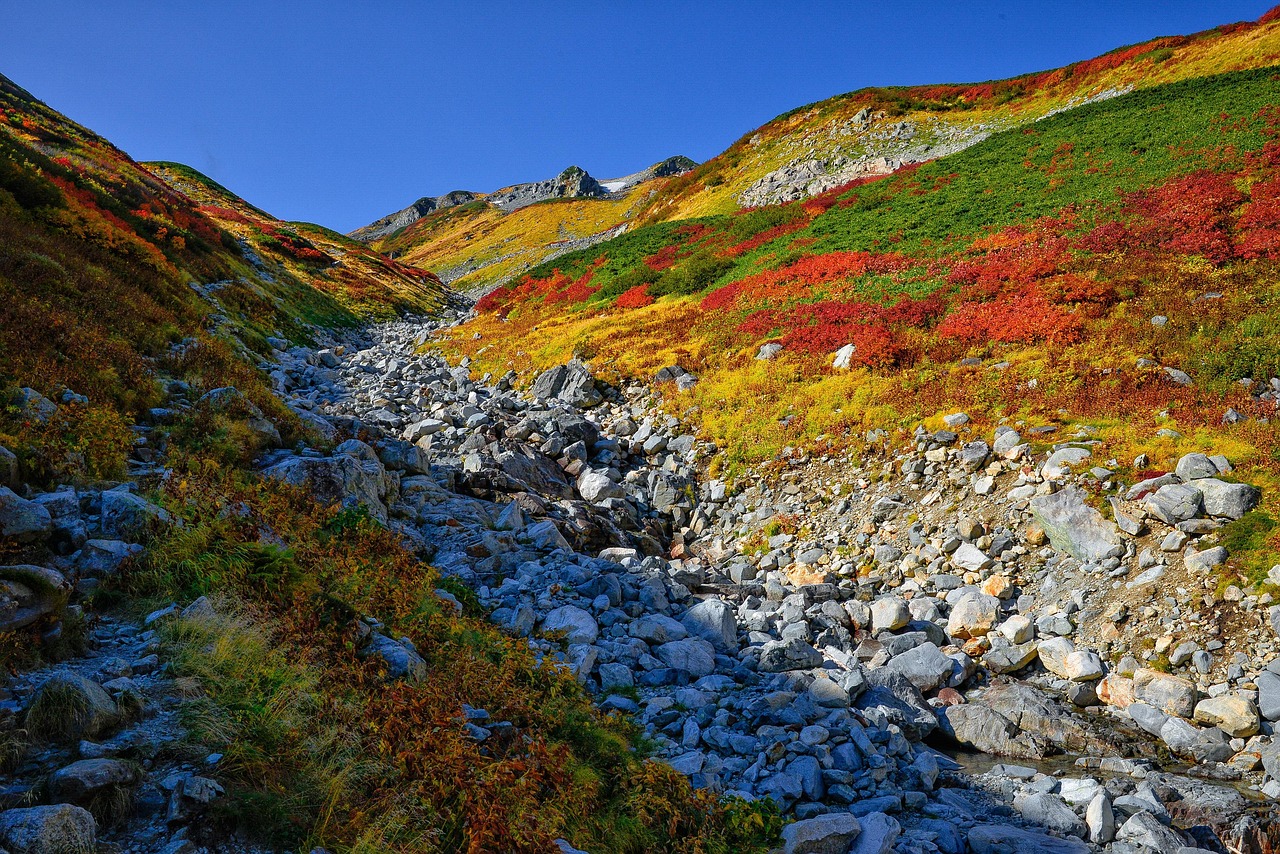
Observing the shifting vegetation around you is one of the most accurate ways to determine your approximate altitude without a map or GPS. The vegetation changes in predictable ways as you climb a mountain.
The Treeline: The treeline is a noticeable marker. The temperature drops and the wind picks up as you ascend higher. “Krummholz” or short, wind-blown woodland is created when trees become twisted and stunted. Even these resilient plants eventually yield to open ground. You can approximate your elevation by knowing the typical treeline altitude for your area.
Alpine Zone Plants: The alpine zone begins above the treeline. Here, plants have evolved specifically to survive in challenging environments. Look for low-growing, mat-forming species such as different saxifrages, alpine lady’s-mantle, and moss campion. To protect themselves from the strongest winds, these plants cling to the ground. You know you have climbed high if these are all around you.
Transition Zones: On a map, the lines separating various plant communities can serve as contour lines. A shift in soil conditions or drainage, which frequently correlates with altitude or aspect, may be indicated by walking from a zone dominated by heather into an area of coarse grasses.
Wet and Dry Indicators
You can learn a lot about ground conditions and water sources from the nearby plants, which is crucial for both safety and navigation.
Rushes and Sedges: You are in consistently wet ground if you see a lot of rushes, sedges, or reeds. This might be a sign of poorly draining soil, a flush or a spring line. By being aware of this, you can steer clear of boggy areas and locate a dependable water source. A sudden shift to vegetation dominated by rush may alert you to the presence of a wet hollow on a foggy plateau.
Heather and Blaeberry: In contrast, robust stands of heather and blaeberry (bilberry) typically signify acidic, well-drained soils. These are frequently found on ridges and slopes that are drier and easier to walk on.
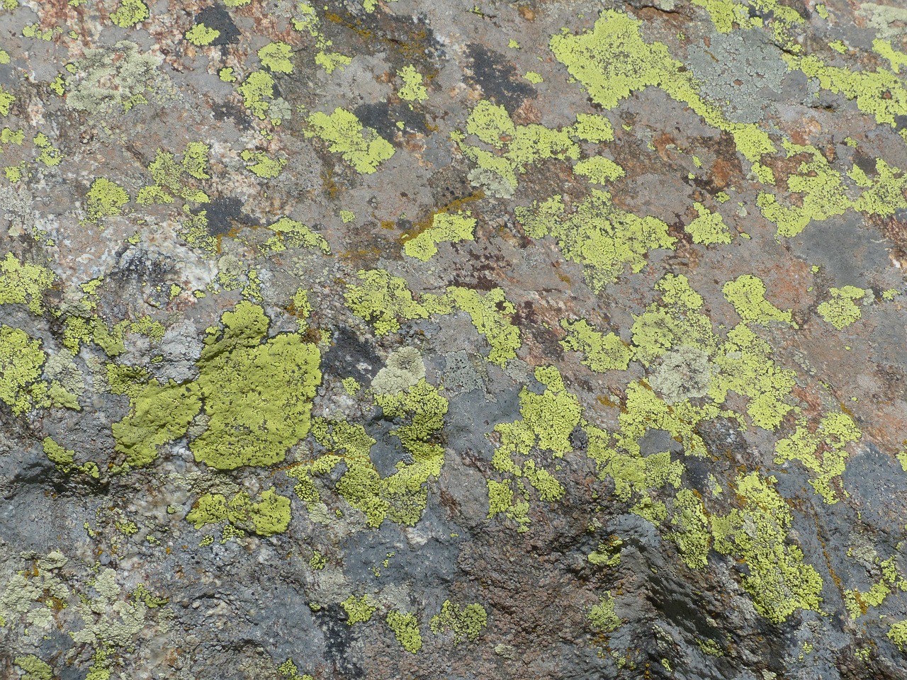
Lichens on Rocks: The kind and hue of lichen that grows on boulders can reveal a rock’s aspect and length of exposure. While some lichens grow best in moist, shaded nooks, others prefer dry, sun-baked surfaces. This may provide subtle hints regarding exposure and direction.
Plants That Follow Water
Vegetation can be used to determine the likely course of streams and gullies in steep terrain, which are crucial features on any map.
Look for lines of lusher, greener vegetation cutting through drier slopes. Even if the water itself is not visible from a distance, these often indicate the path of a stream. Reliable signs of damp ground and running water include meadowsweet, flag iris, and a variety of ferns. Following these green ribbons uphill can lead you to a spring. Following them downhill can lead you to a larger stream or river that may be visible on your map.
Seasonal Changes and Navigation
What you see and how you can use plants for navigation depend on the season.
Spring: On south-facing slopes, where the sun warms the ground and the snow melts earlier, early blooming plants frequently appear first. A hillside that faces south or southwest is likely carpeted in wood anemones or early primroses.
Late Summer: Scotland is known for the purple haze of heather in full bloom. The bloom’s intensity and progression can occasionally reveal subtle differences in exposure and microclimate across a hillside.
Autumn: Patterns of drainage and soil depth can also be seen in the changing colors of grasses and bracken. On thin, dry soils, bracken turns golden brown sooner than in deep, damp hollows.
Using Botanical Knowledge Responsibly
It is a great skill to know how plants can help with navigation, but it comes with a responsibility. The outdoors is a delicate environment.
- If you are unsure, never pick plants for identification. Instead, take a photograph. Many mountain plants grow slowly and are rare.
- Avoid trampling vegetation, particularly in the alpine zone where a single footprint can take decades for plants to recover.
- Use your knowledge as a supplement, not a replacement, for proper navigation tools. Your main tools are a map, a compass, and a GPS. Plants do not give coordinates, they give clues.
A Deeper Connection to the Landscape
Learning to read the botanical signs around you does more than just add another tool to your navigational kit. It strengthens your bond with the places you walk. You start to notice the subtle changes, the tiny details that make each hillside unique. You become more observant, more present, and more attuned to the natural world.
Take a moment to observe the surrounding plants the next time you are out on the hills. Ask yourself why they are growing there instead of somewhere else. What do they tell you about the soil, the water, the aspect, the altitude? You might be surprised at how much they have to say. And on a foggy day when the path disappears and the map seems confusing, these silent companions could be just what you need to find your way.