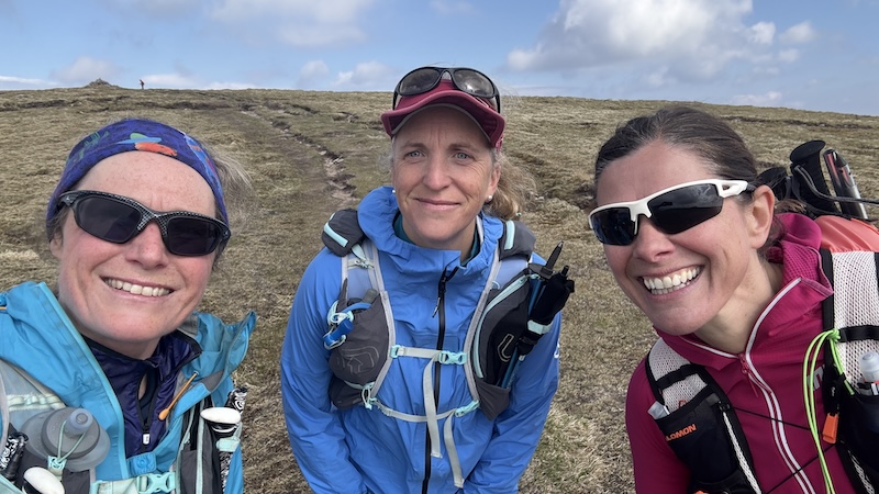
This is a challenging mountain day in the Lochaber area of the Scottish Highlands. The 26km route and 2050m of ascent route takes in four Munros, Aonach Mor, Aonach Beag, Carn Mor Dearg and Ben Nevis. I also bagged a Munro Top by detouring to Carn Dearg (NW). The route also included an ascent of the CMD arete, which is an easy scramble (grade 1). I enjoyed the day in early May 2025 with friends Cath, Rachel, Geraldine, David and Selina.
Nevis Range to Aonach Mor
We were based at Nevis Range centre, where you can pay for campervan overnights and have use of showers and toilets. This meant we had a very steep hike up the front of Aonach Mor to start with. We headed out the back of the large car park and then simply walked uphill.
The aim was to avoid the mountain bikers taking part in a practice for a competition later that day. The MTB tracks were busy and noisy, but entertaining.
We all thought there was a lack of decent walking paths in this area. We basically made a straight line south-east, uphill and below the line of a gondola. It was steep and the vegetation was overgrown in places but we chatted and laughed and stopped to watch the riders careering down the slope at our side.
Higher up, once above the gondola, we tracked closer to the line of a ski lift and followed the line of what would be a downhill ski slope in winter. After around 5km distance we had climbed some 1100m to the summit of Aonach Mor at 1221m elevation.
Aonach Mor to Aonach Beag
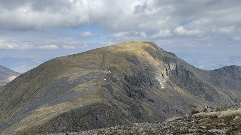
The next section of the route seemed to go in a flash. We descended south by around 100m before heading uphill again to the summit of Aonach Beag at 1234m. I wondered how this could be a Munro and not a Munro Top but it’s on the list of 282 Munros and we were all happy to bag it.
It was my third or fourth time on this summit but for others in the group, it was their first time.
Many people might then return the way we had ascended but we were keen to reach two more Munros.
Aonach Beag to Carn Mor Dearg
Returning to the bealach at about 1100m, we then headed west and descended a very steep slope. The path was loose with dry mud, rocks and scree and zig-zagged precipitously downhill. We all took our time, going at a pace tat felt comfortable.
We also met a friend, by chance, ascending the slope and stopped for a chat. The lowest point is around 830m elevation and we enjoyed the shelter of a stone wall and some sunshine for a bite to eat.
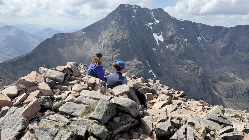
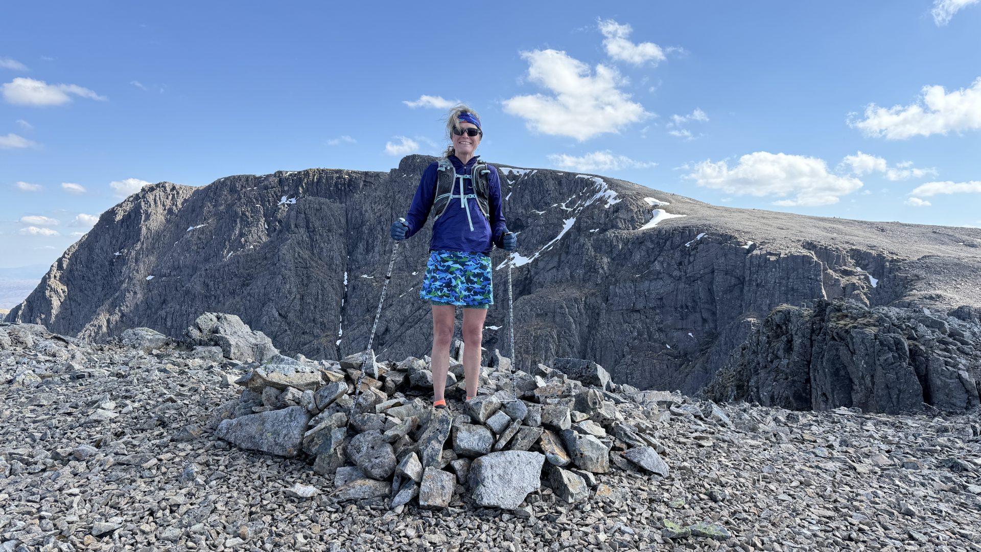
The next uphill was also steep are felt muscle zapping. CMD summit is at 1220m. I had been on the top before during another outing from Glen Nevis a few years before. That day, I walked a return route to bag on the CMD summit.
But this time, I was planning to scramble up the CMD arete.
CMD arete to Ben Nevis
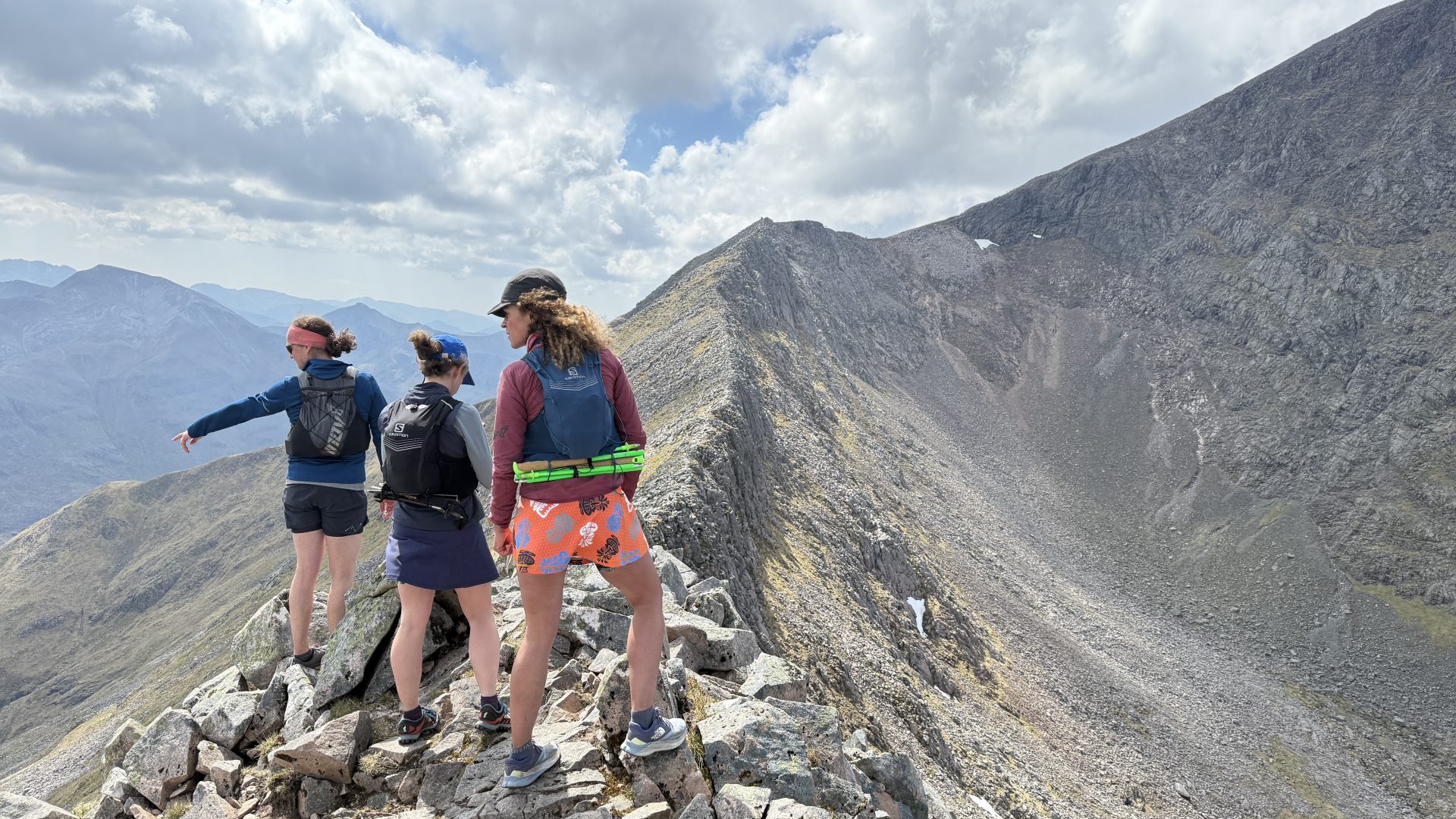
I’d heard many stories of the arete and i wasn’t sure I was going to like it. It’s a grade one scramble with a fair amount of exposure.
The advantage was that I was with confident friends and I have now had more than two decades of experience in the mountains so I decided it should be manageable.
The route is also very obvious and although a rocky ridge, it was well within my capabilities. I walked and scrambled at times but, in the end, I enjoyed the experience.
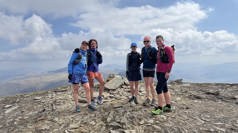
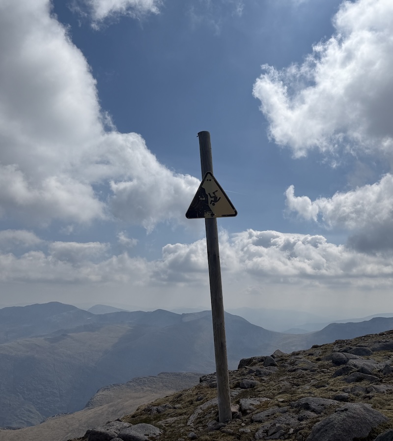
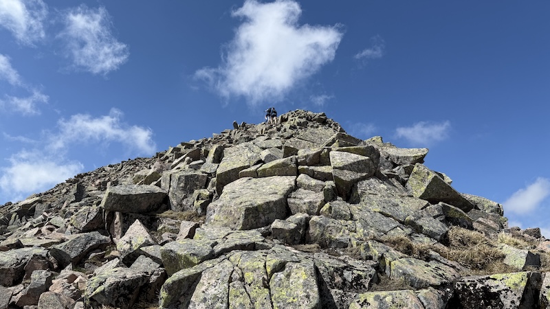
This route brings you to a vast boulder field on the south-western side of ben Nevis and, thankfully, away from all the many, many people who ascend the UK’s tallest mountain on the “tourist path”.
We were blissfully unaware of the crowds on the summit plateau as we made our way over large rocks to the top.
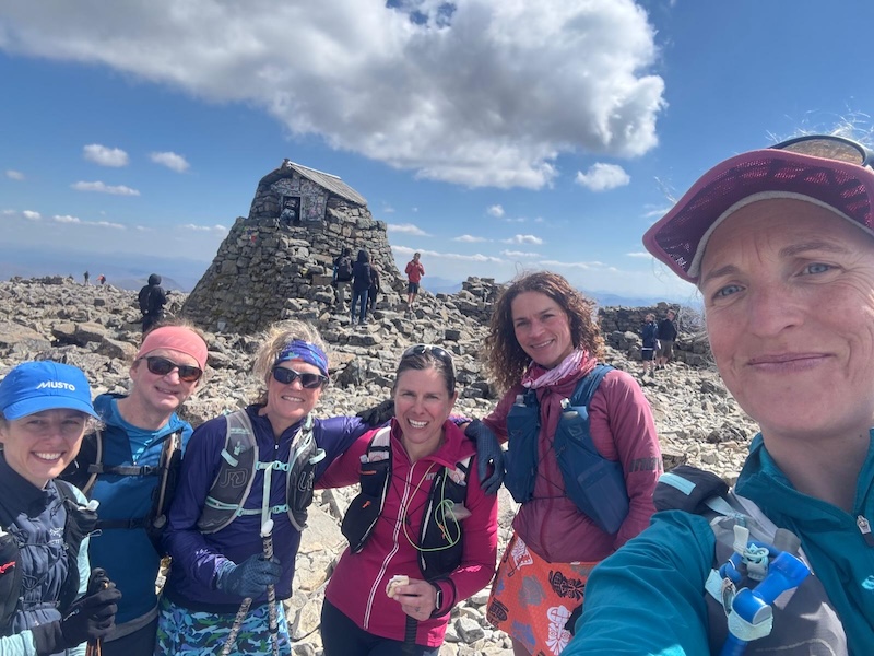
There were people queuing to have their photo taken on the summit and we did the necessary before making a decision on how to descend.
Munro Top and a descent
I was keen to pick up the Munro Top and the others were happy to join me. We descended a short way on the tourist track before heading north and along the western ridge of Coire na Ciste to Carn Dearg.
For the full descent, Cath and Selina took the tourist track downhill, while Rachel, David, Geraldine and I headed off on the Red Burn route. This is the line that most people in the Ben Nevis Race and I discovered it’s very steep and hard to negotiate due to loose scree. We all slipped over a few times and I was sure that Cath and Selina would be ahead of us. (They were!)
Lower down we all joined the tourist track and trotted downhill, passing the throngs of people walking up and down to the Ben. I didn’t find it a very calming or attractive place to be.
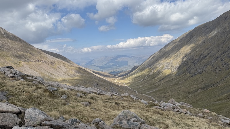
Route back to Nevis Range
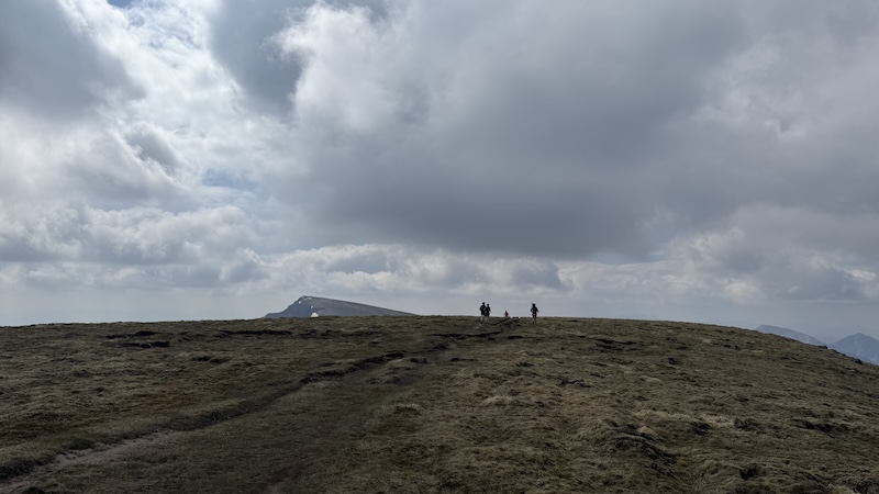
Above Lochan Meall an t-Suidhe, there was a fork in the track and we took the northern path. Most other people would keep going west.
Our aim was to return to the Nevis Range car park. This involved a bot of off-trod running and hiking but eventually we reach woodlands and followed a wide track through the trees for the final few kilometres. We were all feeling quite fatigued, hot and thirsty by the time we made it back to our base and vehicles.
Route details: Aonach Mor, Aonach Beag, Carn Mor Dearg and Ben Nevis
Distance: 25km
Total elevation: 2100m